
On a recent road trip visiting the Grand Canyon, I headed northbound on Highway 89. You can see my blog post from the Grand Canyon here:
10 Images from Grand Canyon, Arizona
Highway 89 goes from Canada to Mexico, and even the shorter stretch I traveled on had numerous attractions. Since I was just passing through, I managed to capture a few of them.

1: Horseshoe Bend, located on the Colorado River, just north of the Grand Canyon, is a marvel of the power nature and water erosion. It's a phenomenon called an incised meander, where the hardness of the rock has determined that path of the river. In this particular case, the path of least resistance was an extreme horseshoe shape.
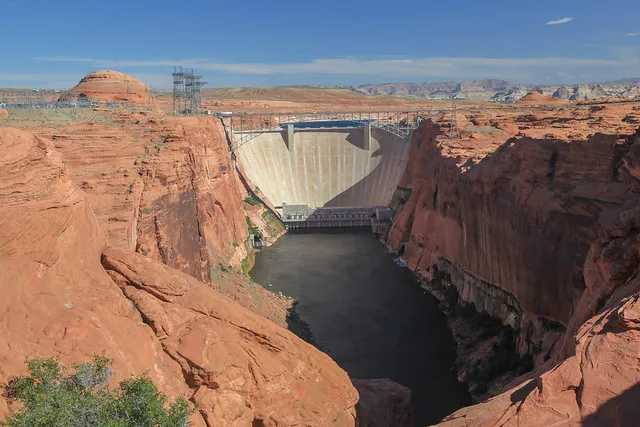
2: About 5 miles north of Horseshoe Bend, is the Glen Canyon Dam. The damn was built to flood Glen Canyon with water from the Colorado River to create Lake Powell, one of the largest man-made reservoirs in the US. It was completed in 1966, 30 years after the Hoover Dam was built during the Great Depression. While controversial for filling a beautiful canyon with water, it does provide a backup source of water during droughts to nearby states, as well as electricity.
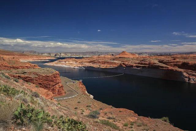
3: A view of Lake Powell, just beyond the dam. The scenery is dam beautiful if you ask me!
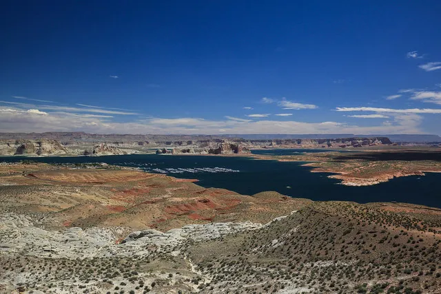
4: Lake Powell a bit further from the Dam. You can see one of the marinas. Lake Powell is a popular spot for boating and water sports.
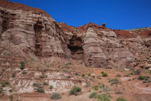
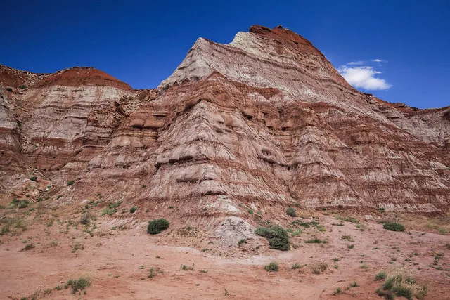
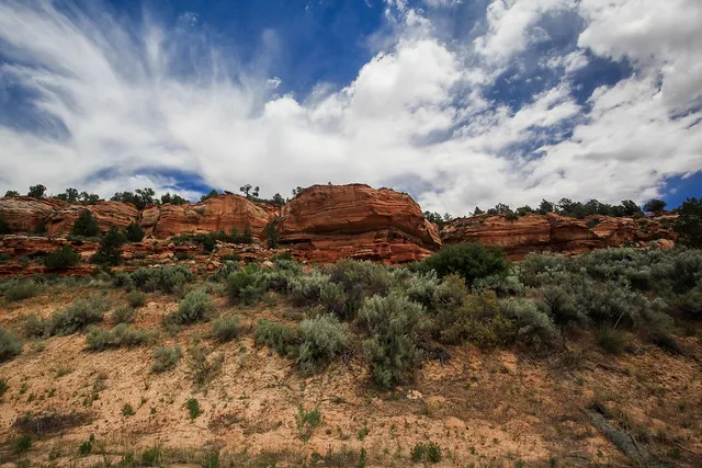
5-7: Some geological features near Paria, Utah. Paria is the location of a town that was abandoned in 1929, and later used as a filming location. Because of the picturesque views, it was a popular filming location for films like The Outlaw Josey Wales.
8: I forgot the name of this rift, but I thought it was impressive to look at; the way it seems to swallow up the trees.
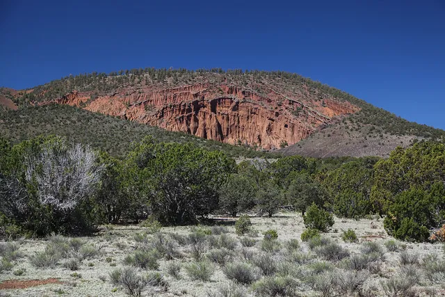
9: Red Mountain is just outside of Flagstaff, Arizona on the way to the Grand Canyon. It has a distinctive reddish face. It's a 1000 foot cinder cone, and one of many volcanic features in the area.
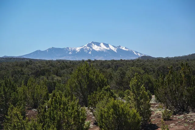
10: Humphreys Peak is visible from Red Mountain trailhead. It's the highest elevation mountain in the state of Arizona. Yes, Arizona has mountains!

Thanks for viewing! If you enjoyed this post, please consider following me and supporting my project @steempatron. You can support us by delegating, following this account, and/or upvoting its reblogs. You can also join the @steempatron curation trail via @steemauto.
With @steempatron, I am attempting to reward and retain Steemians who have large followings on platforms like YouTube and Twitter. This is in the hope they will evangelize STEEM to their many followers.
Posted from my blog with SteemPress : https://joshman.com/highway-89-from-arizona-to-utah-10-photos
[//]:# (!steemitworldmap 36.843683 lat -111.560827 long Highway 89 From Arizona To Utah (10 Photos) d3scr)