
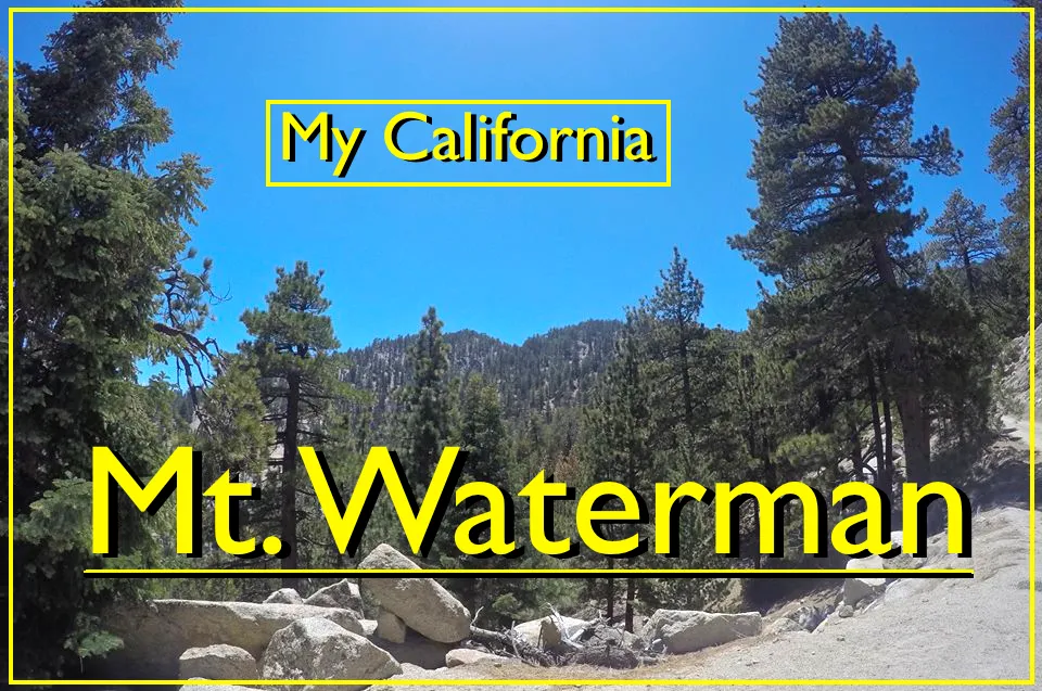
For this weeks Show Us Your California contest by @socalsteemit I'm going deep into the San Gabriel mountains to climb...
Mt. Waterman!!

Mt. Waterman is an 8,030' summit in the middle of the San Gabriel high country. In the winter it's northern slopes are used by the Mt. Waterman ski resort. But in the summer it's a great place to go do some hiking!
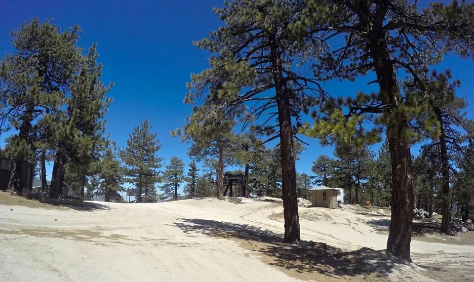
Hiking through the ski resort
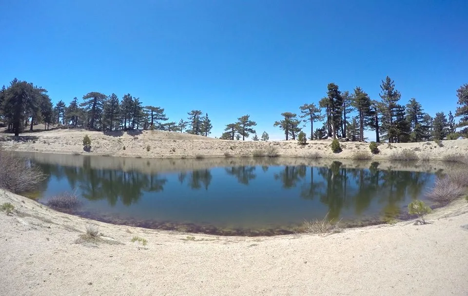
A small lake on Mt. Waterman that was originally created to hold water to use for making snow, but to this day no snow making equipment has ever been installed on the mountain
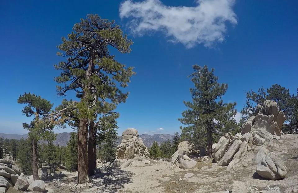
We started this hike at the trailhead near the Buckhorn camp and hiked up the dirt road through the ski resort. We continued passed all the ski lifts and up to the summit. On the top we hung out for awhile and played around on all the cool rock formations up there. Luckily we got up there early enough to enjoy the views because the clouds were continuing to build around us and had completely engulfed the peak shortly after we began our descent.
Getting beyond the ski slopes
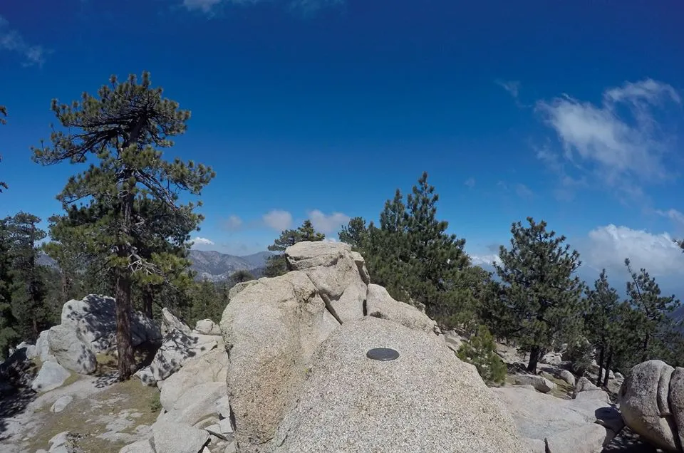
The summit rocks
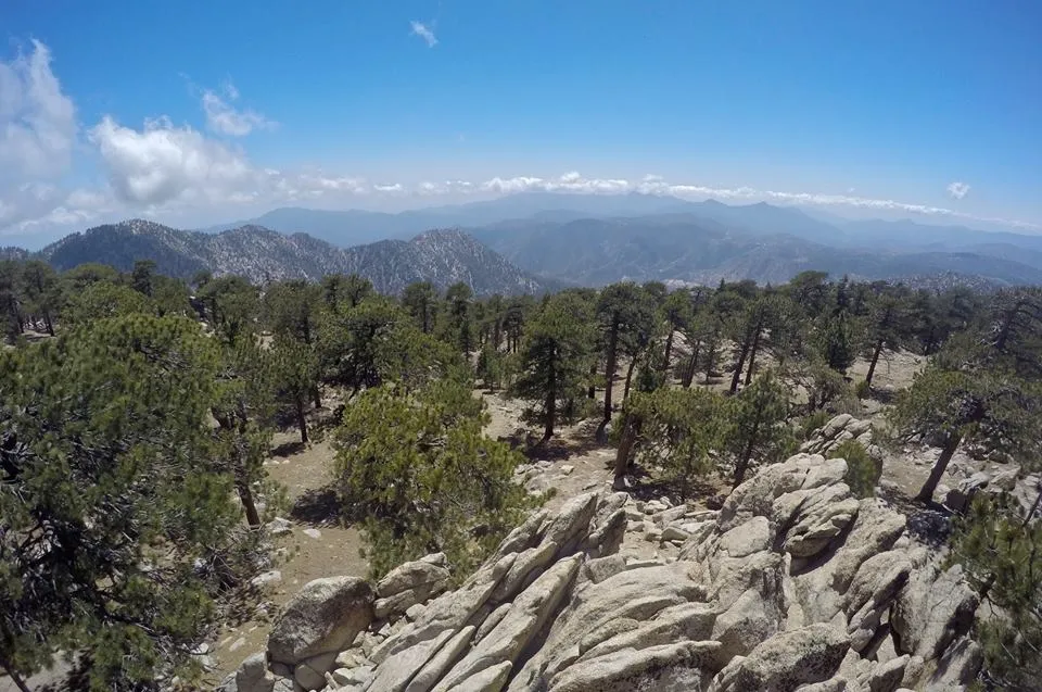
Views looking southwest from the summit
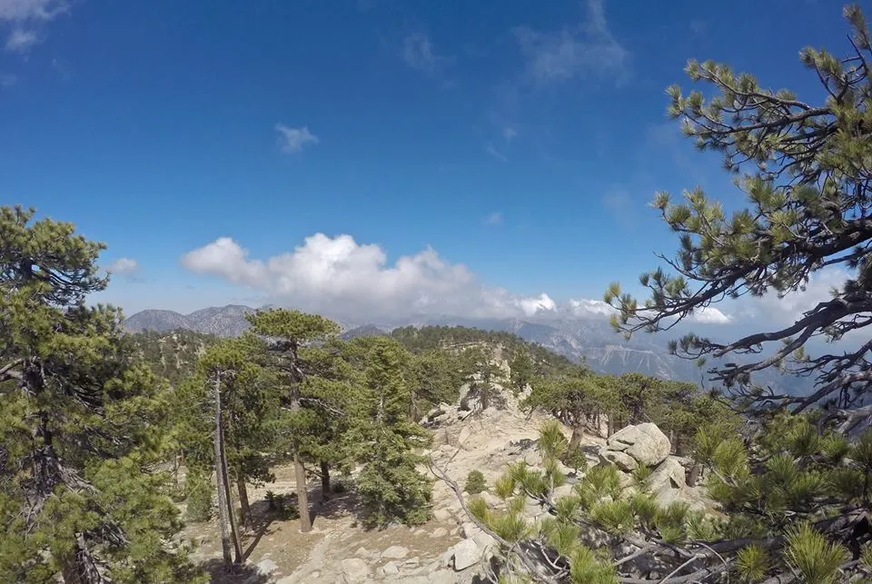
Twin Peaks from Mt. Waterman
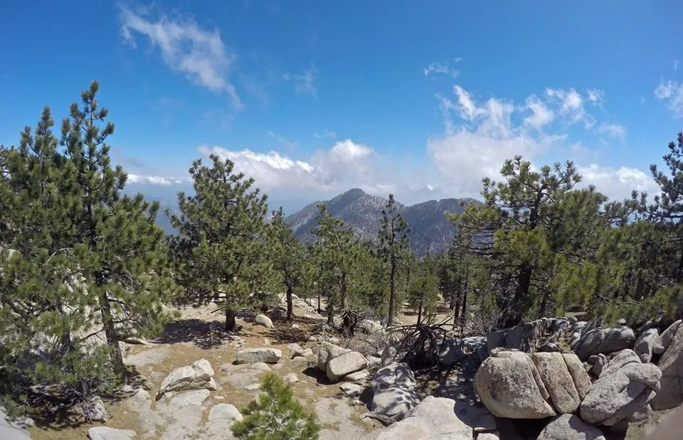
Views looking east from the summit
On our way down we took the main Mt. Waterman trail instead of the dirt road and made it a into a real nice loop! On our way down we enjoyed watching the clouds swirl through the mountains and trees as if they had come alive. I love it when the clouds are moving like that. All in all it was a fun hike on a beautiful day, what more could I ask for!!
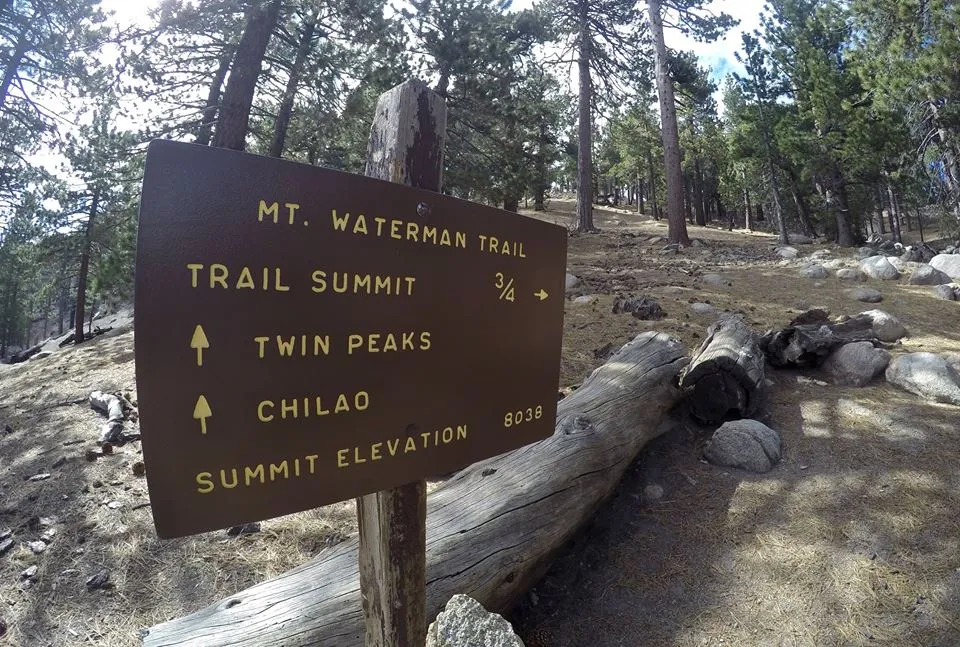
Trail junction for the main trail
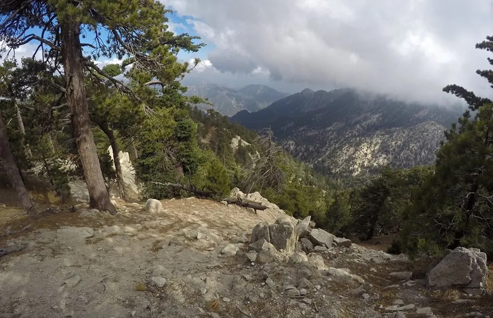
Looking down into Bear Canyon from the Mt. Waterman trail
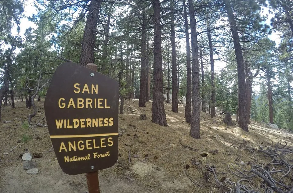
San Gabriel wilderness boundary sign
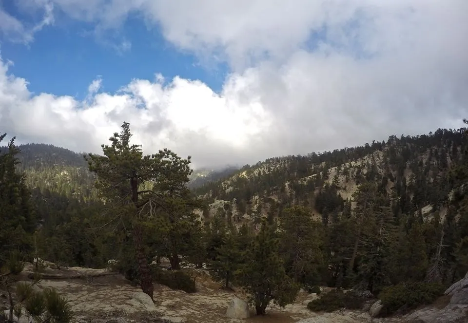
Watching the clouds move through the mountains
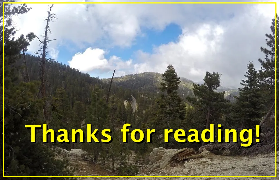
So, until the next adventure...
I hope you have enjoyed this glimpse into
My California!!
Steemit World Map
Contact me on Discord

#SoCalSteemit is building and supporting the Steemit community of Southern California. If you are from SoCal and are into creating quality content here on Steemit, we'd love for you to follow us @SoCalSteemit and join our group on Discord


Animation By @zord189