
I just found out about this place a couple months ago and have been meaning to got out there for a little look see. The The Riley Ranch Nature Reserve is 184 acres of protected land along the Deschutes River near Bend Oregon. Join me as I share some photographs on my walk of the upper portion of the reserve.
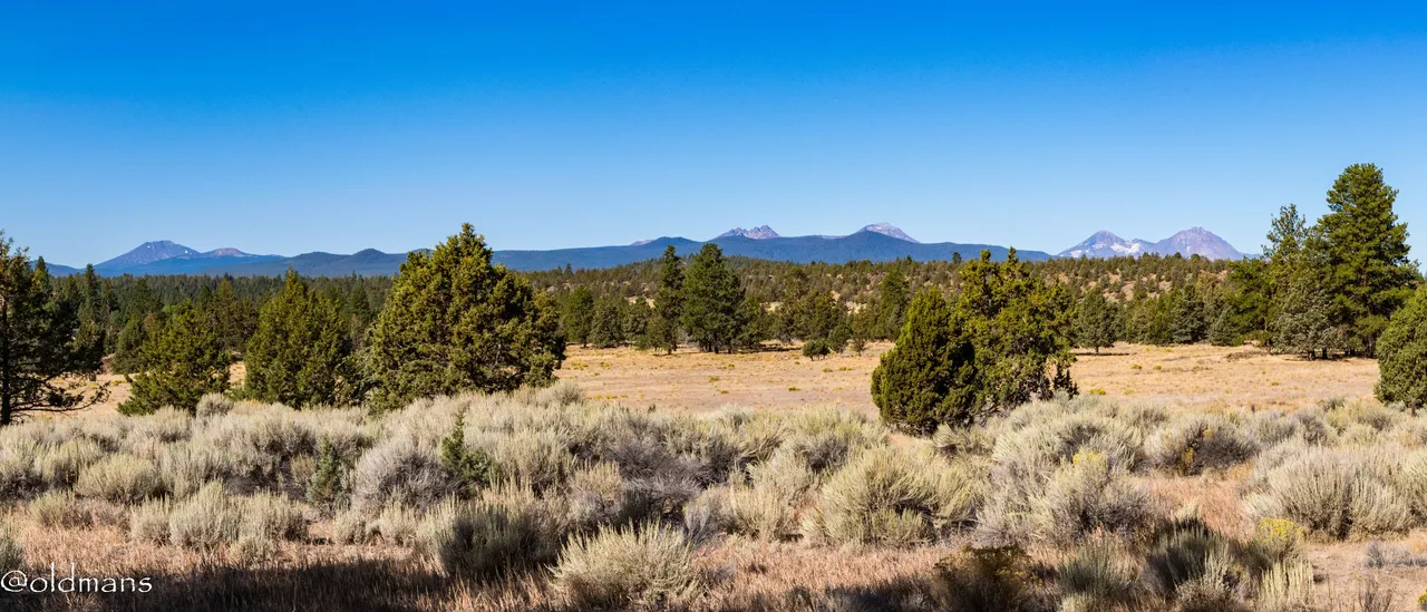
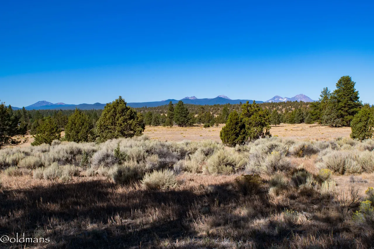
A six shot panorama I stitched together in Lightroom showing the Cascade Mountain Range in Central Oregon looming in the distance. Mt Bachelor on the left, Broken Top and the South Sister in the center, Middle and North Sister on the right. In front of me is the part of the reserve we are about to explore. 🙂

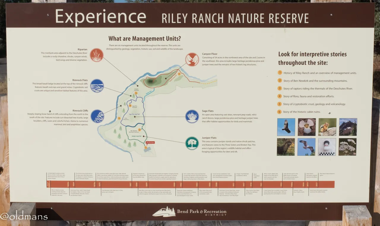
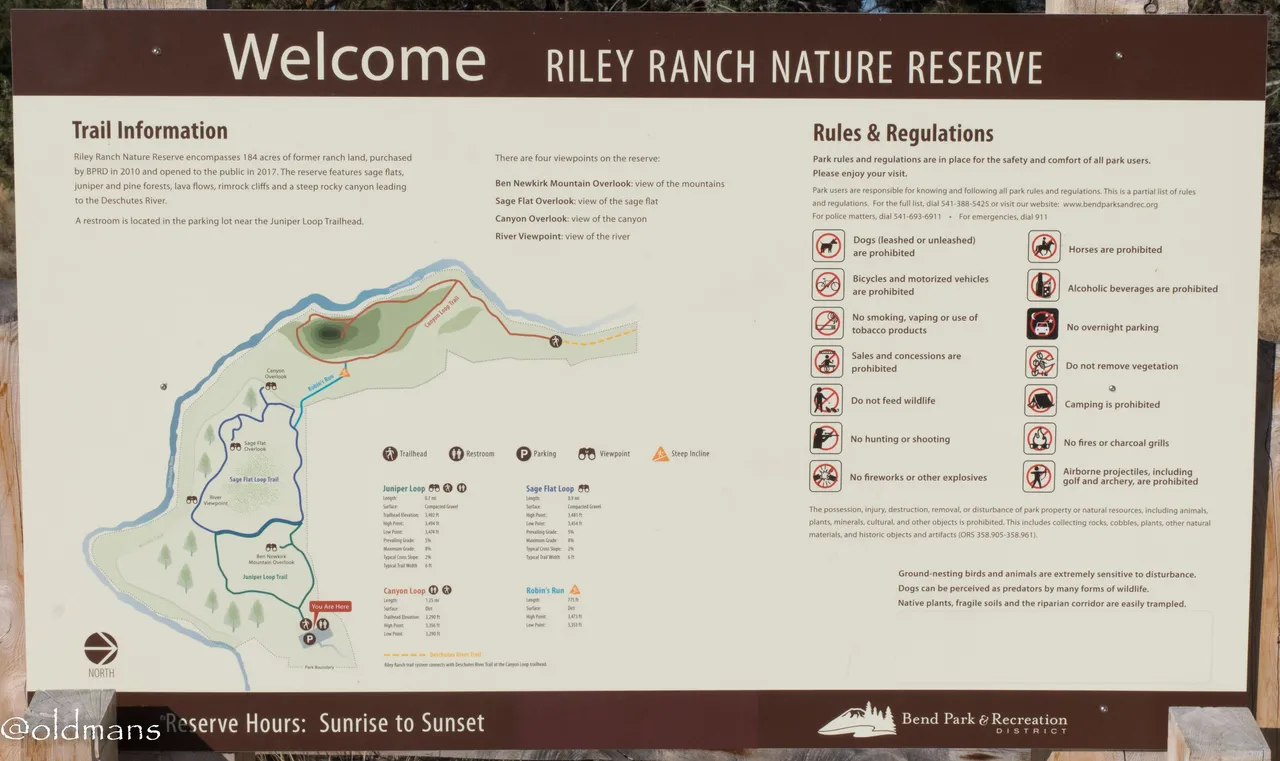
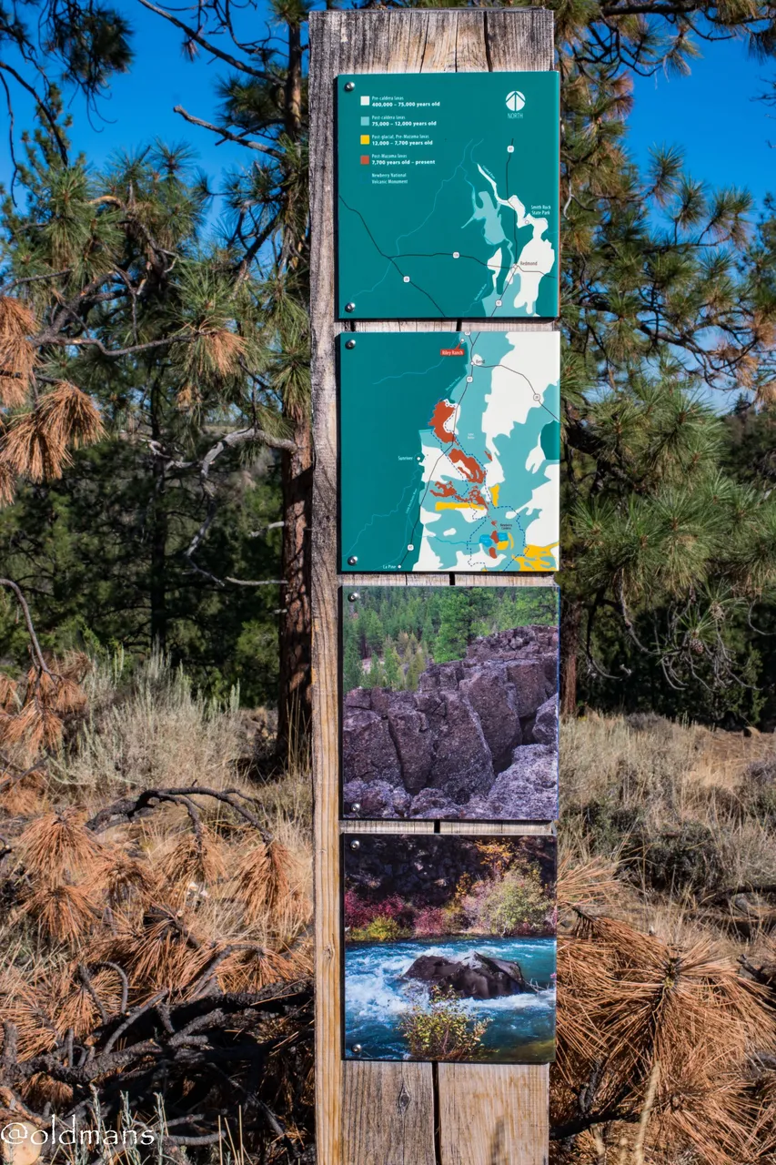
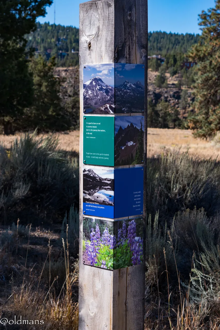
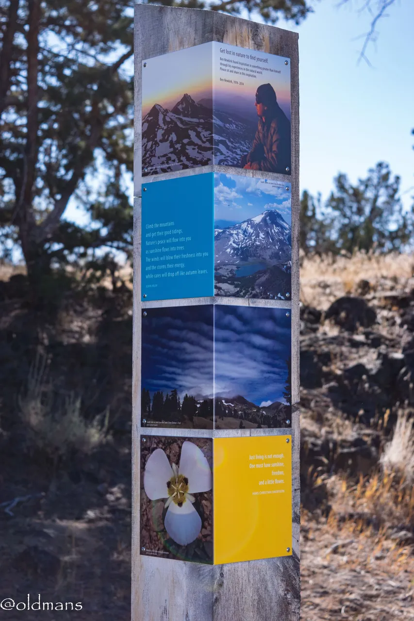
A couple of information boards at the entrance to the trail
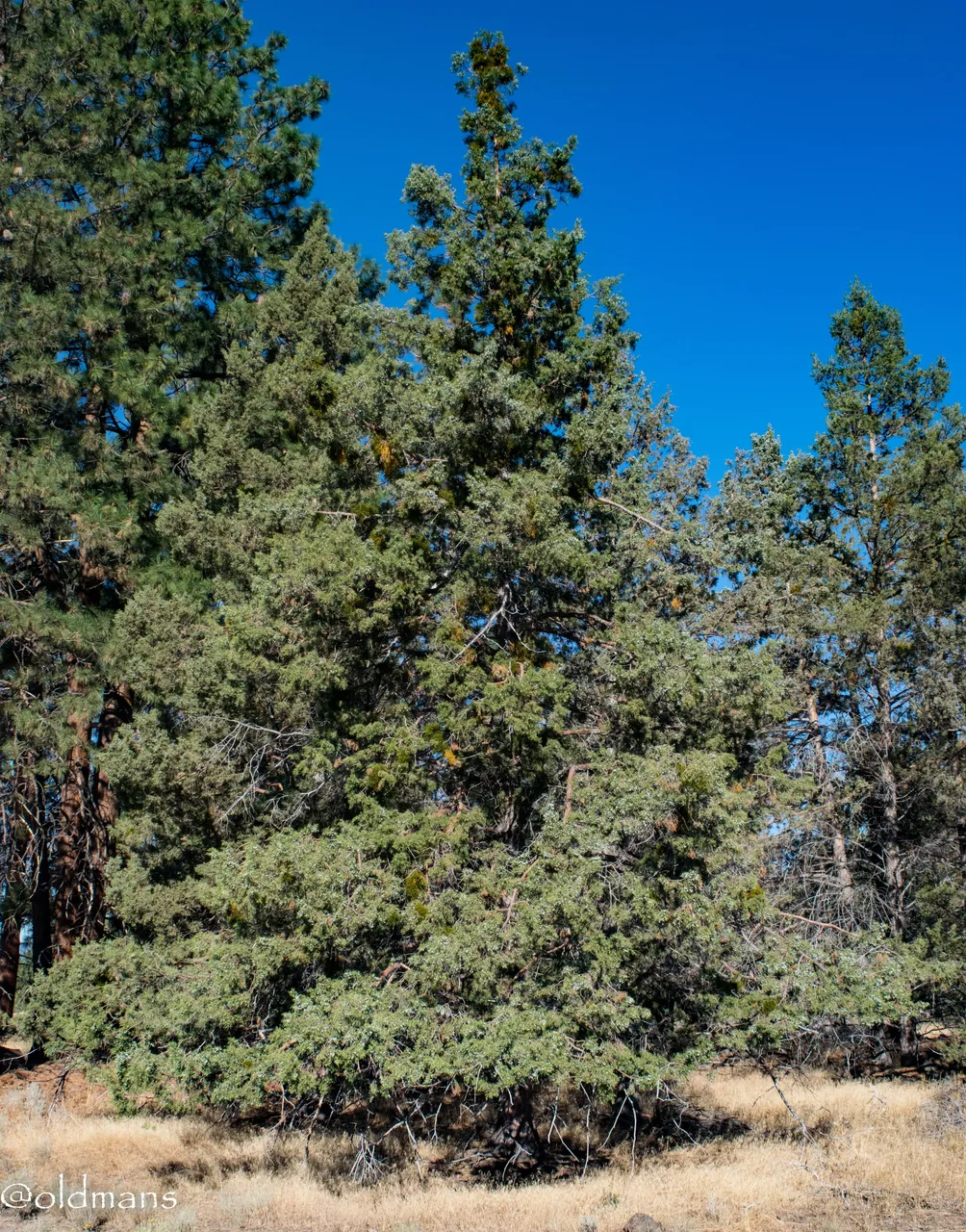
This Juniper tree was teeming with berries. They don't really show up in this photo...
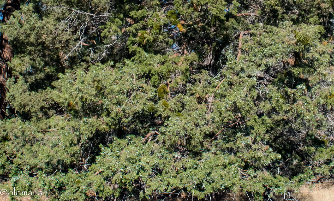
so here is a cropped shot that shows them a little better. Enlarge and zoom in for the best effect.
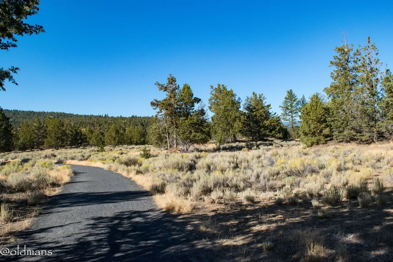
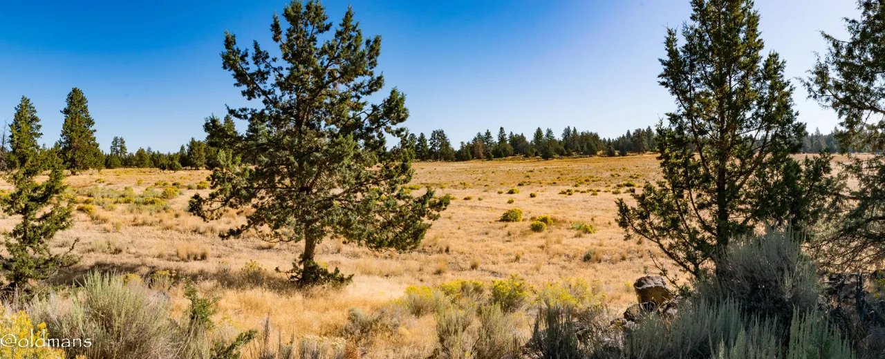
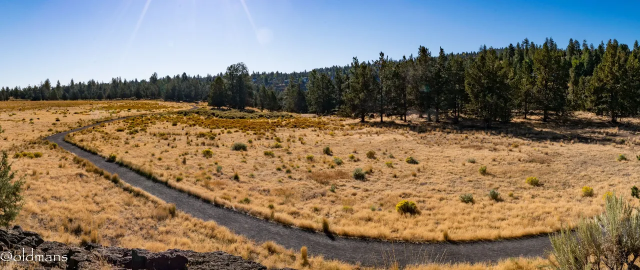
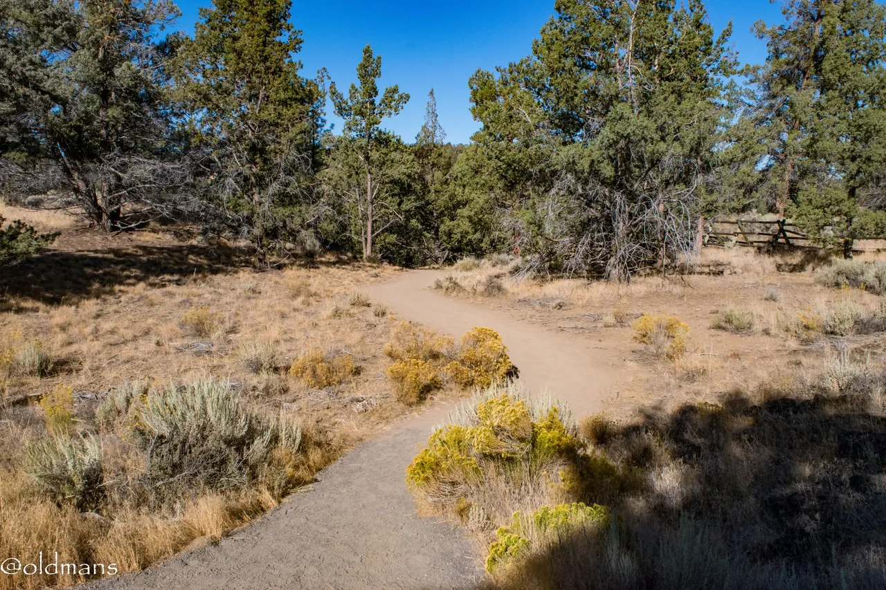
The upper portion of the reserve has some really nice trails. Since there is no bikes, horses, or dogs allowed this mega highway is for the sole use of humans. 😀
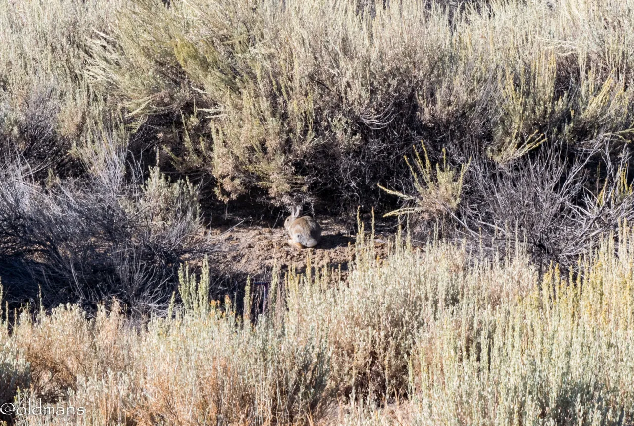
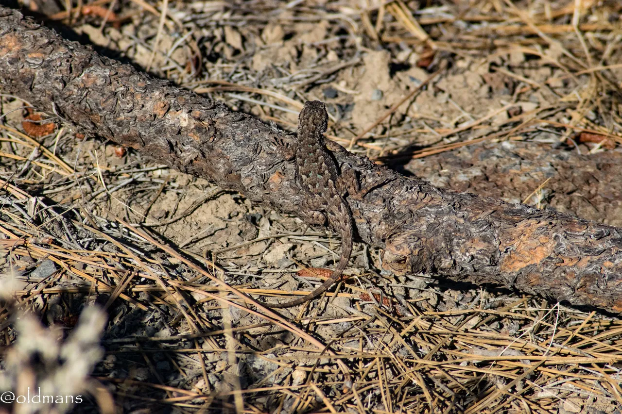
Since it is a nature reserve it is only fitting we get to see some wildlife. This guy darted across the trail and luckily stopped here for a moment so I could capture a picture of him.
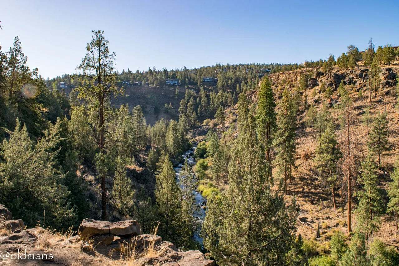
Our first of four overlooks, this one gives us views of the Deschutes River down below.
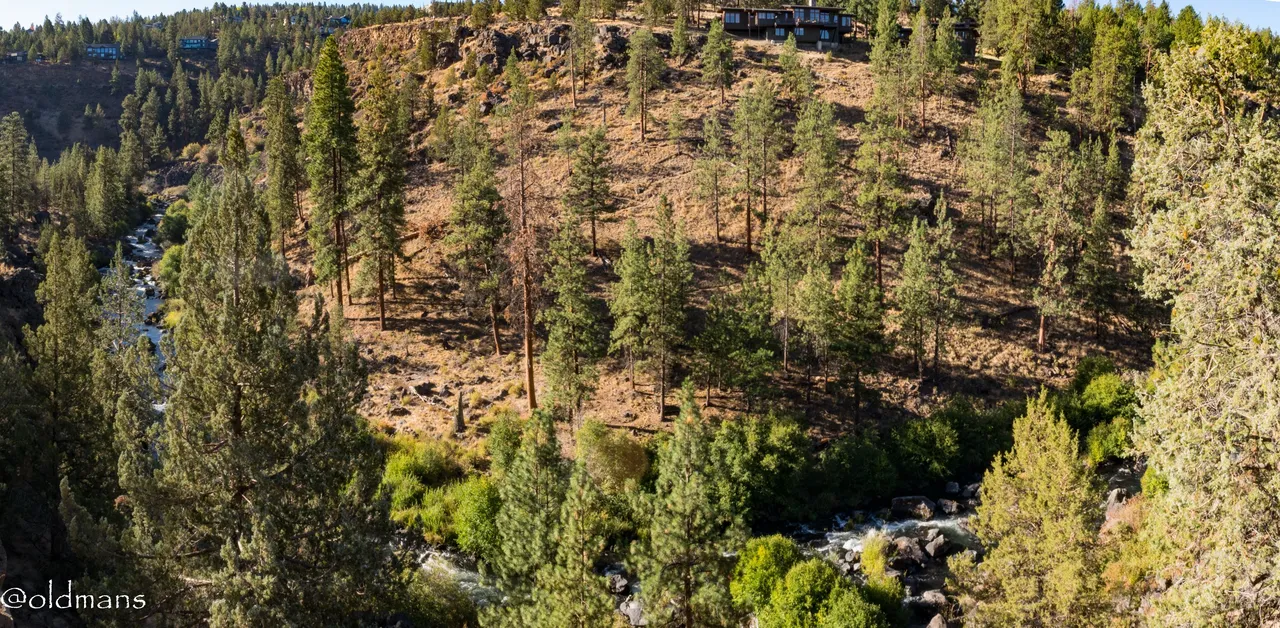
As you will see going forward there are some pretty amazing houses on the other side of the river.
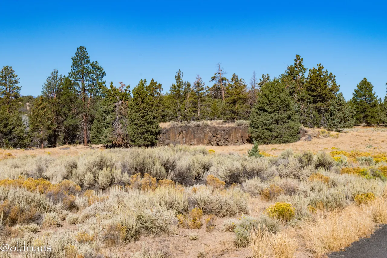
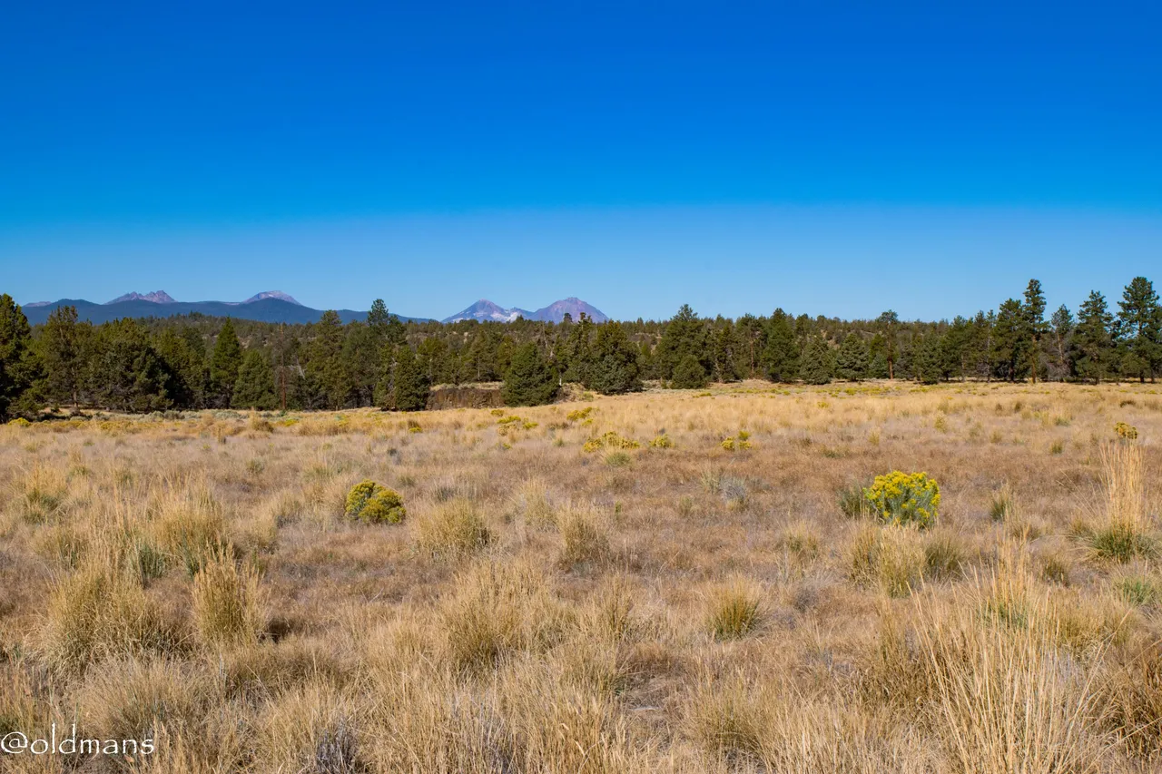
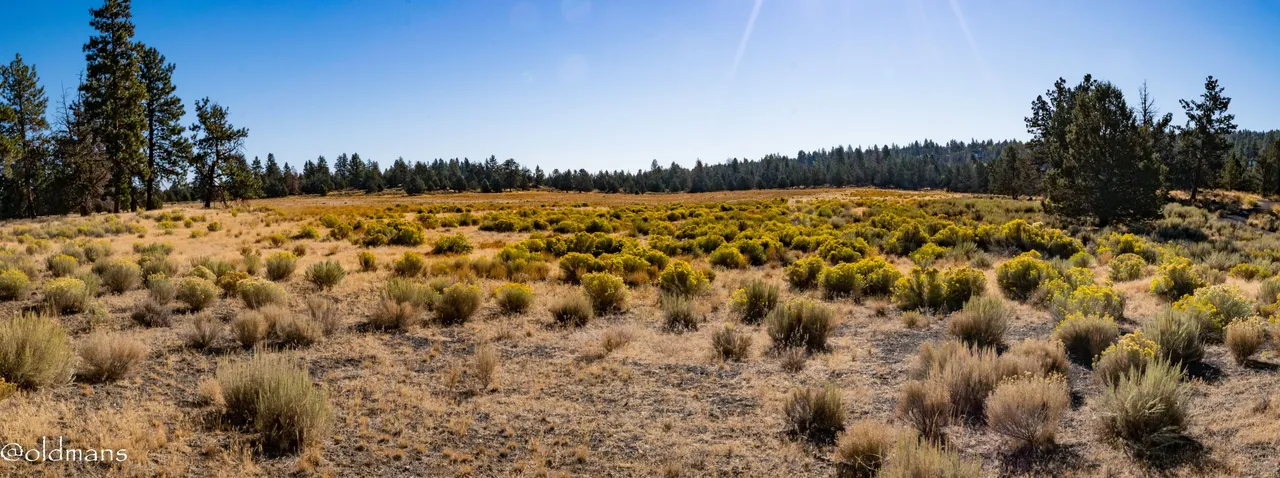
A couple views of the next overlook, Sage Flat. We will walk around the back and out on the small cliff face.

Here are a few views looking back at the sage area we just crossed from the overlook.
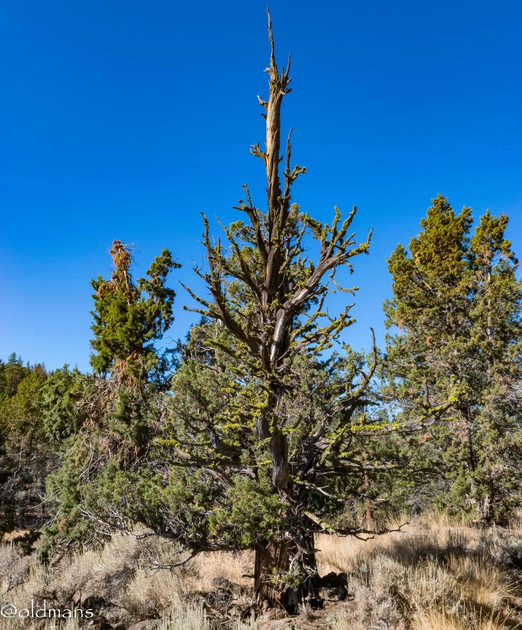
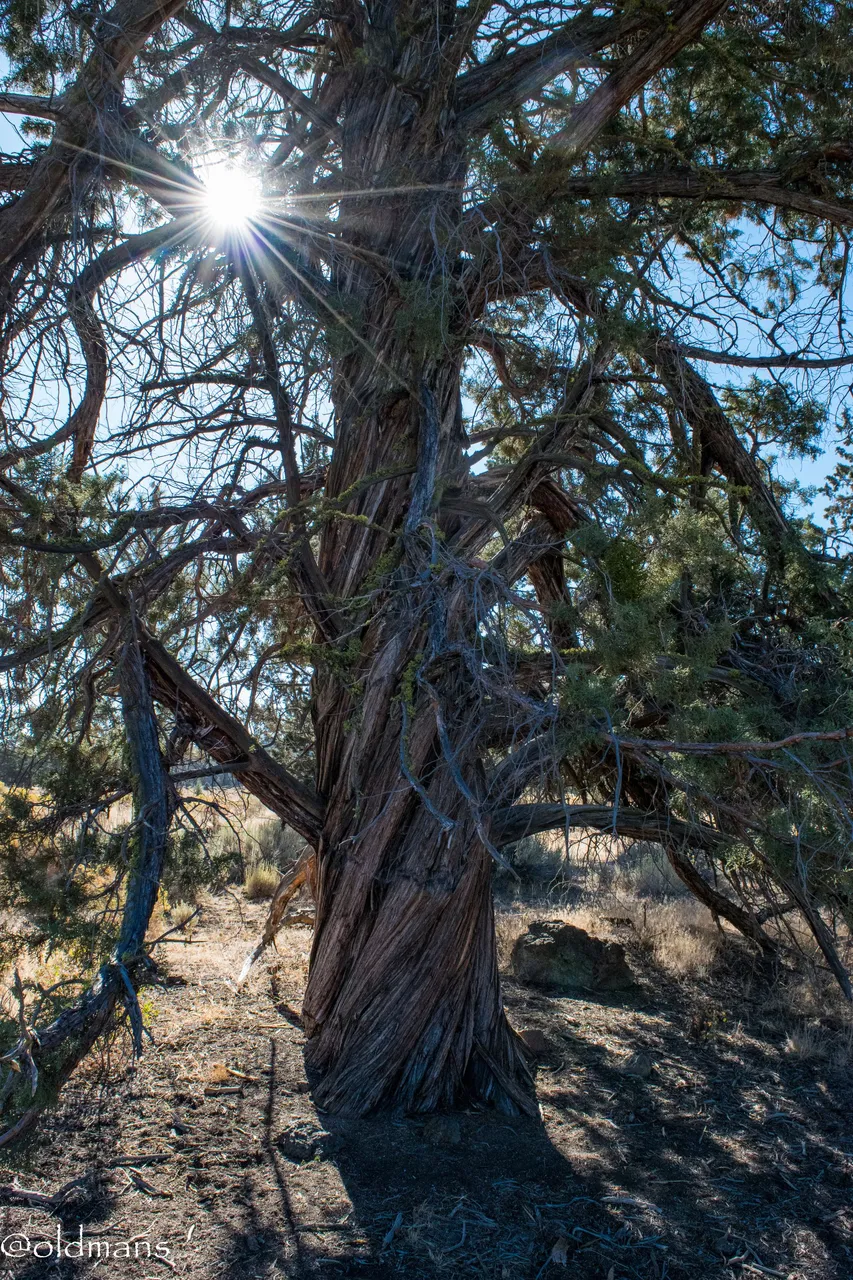
An old twisted Juniper.
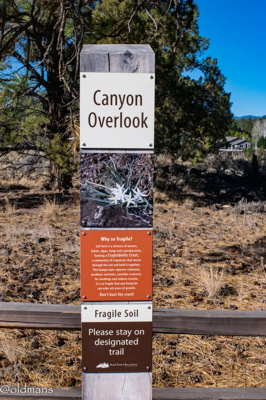
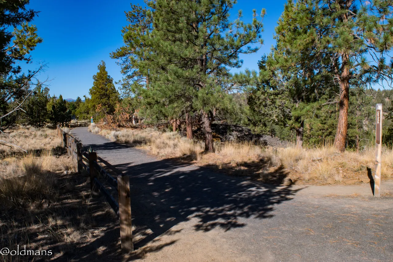
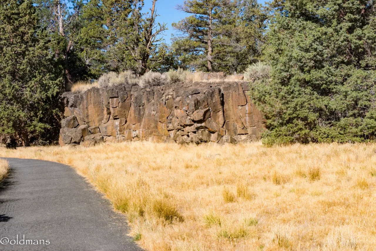
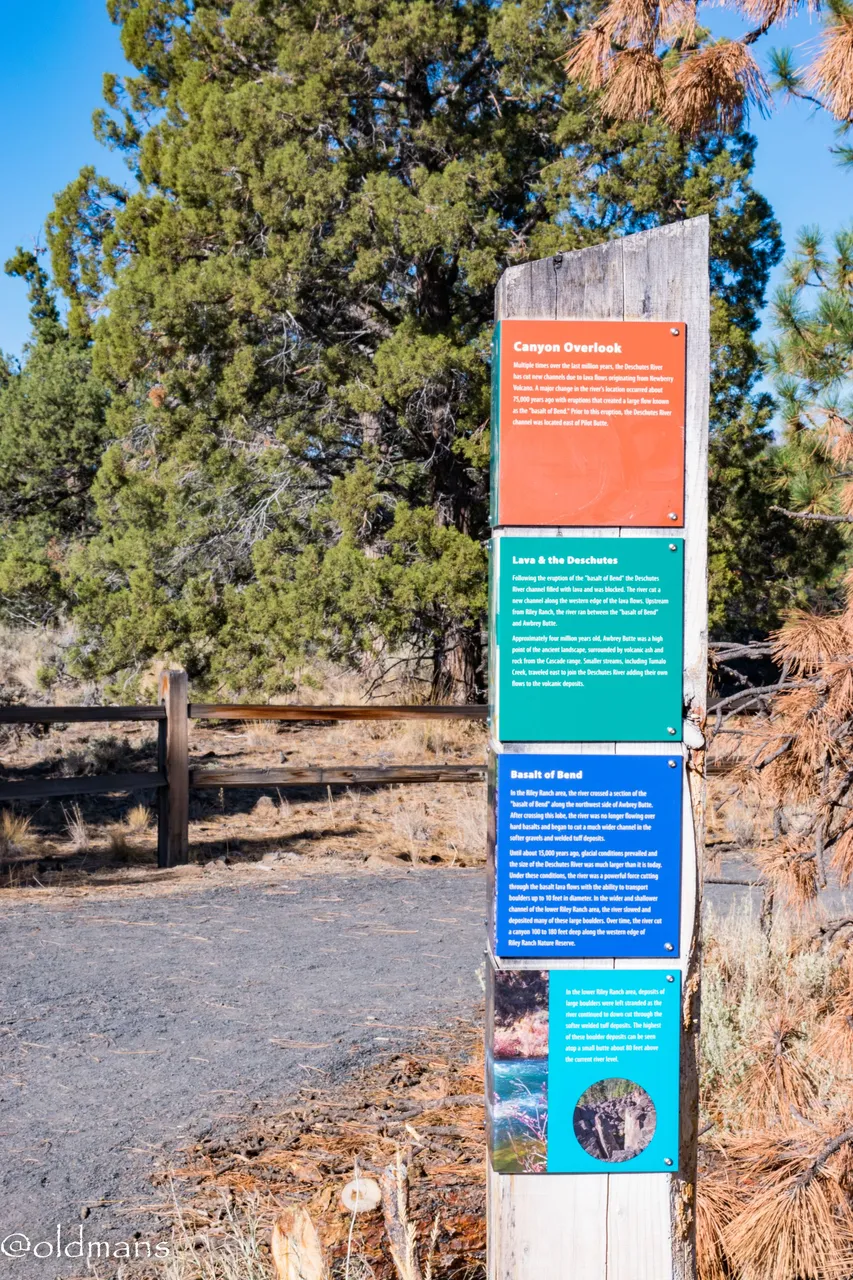
The third overlook is the Canyon Overlook. It is a platform built on the edge of an ancient lava flow. After the eruption of the "Basalt of Bend", the river was forced to find this new course around the lava flow.
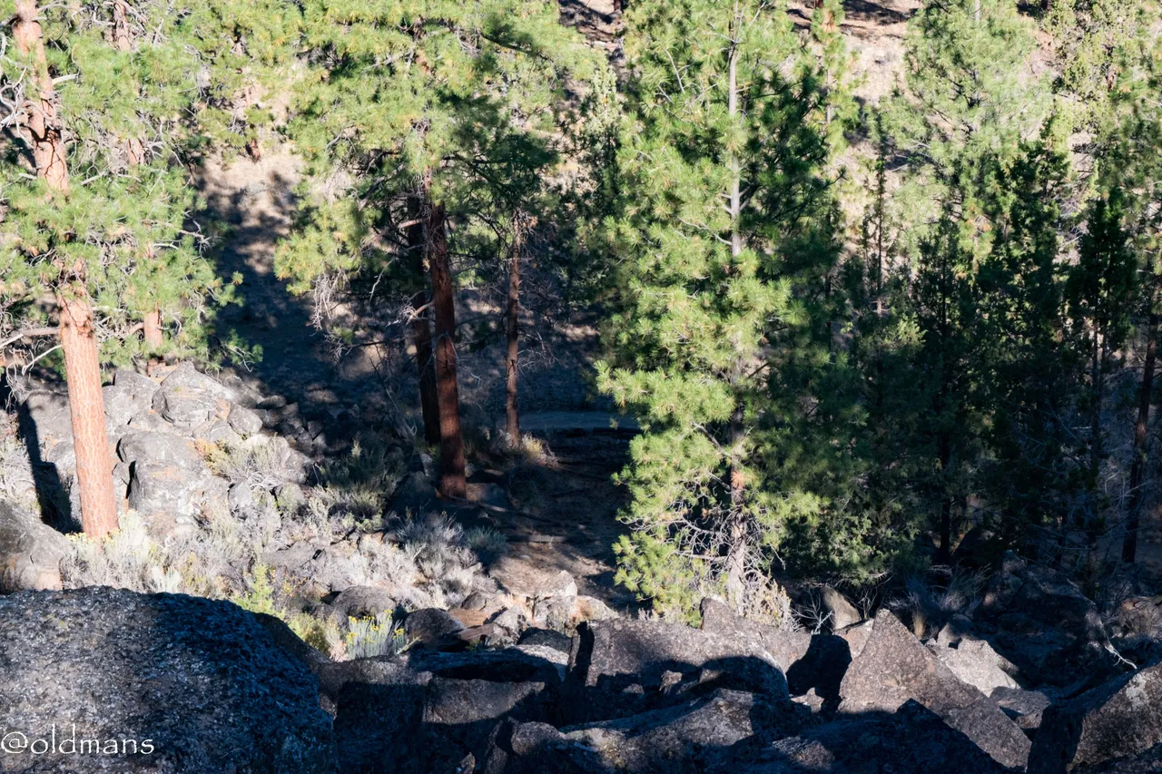
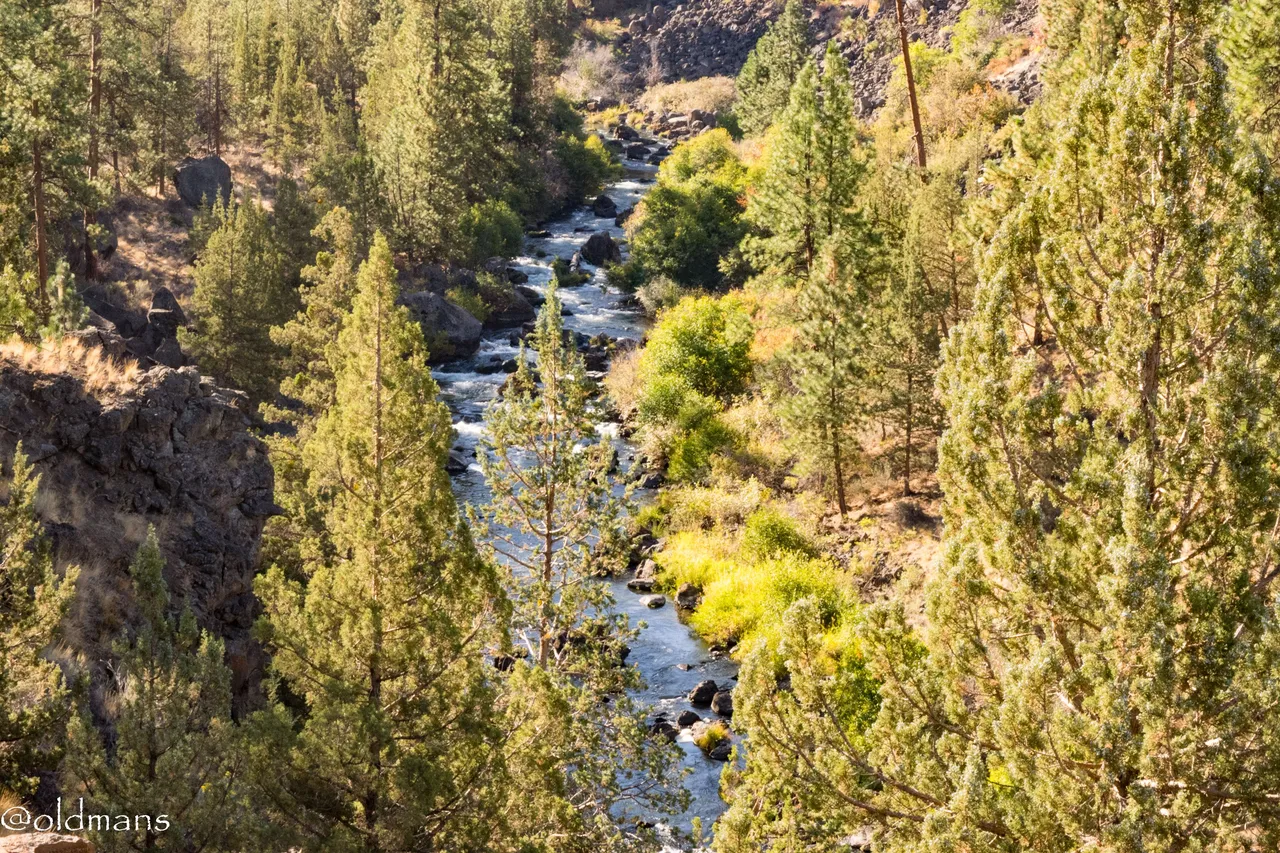
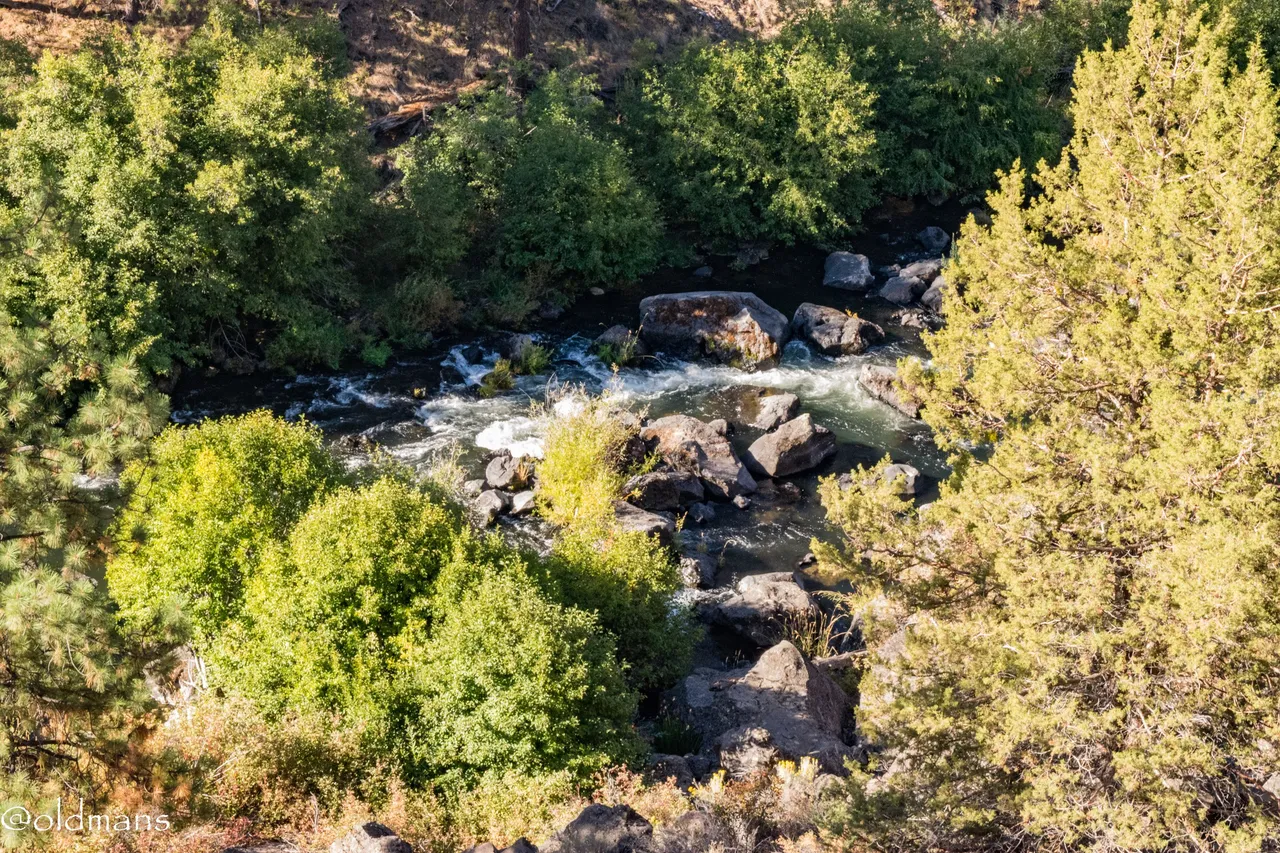
The river down below the overlook.
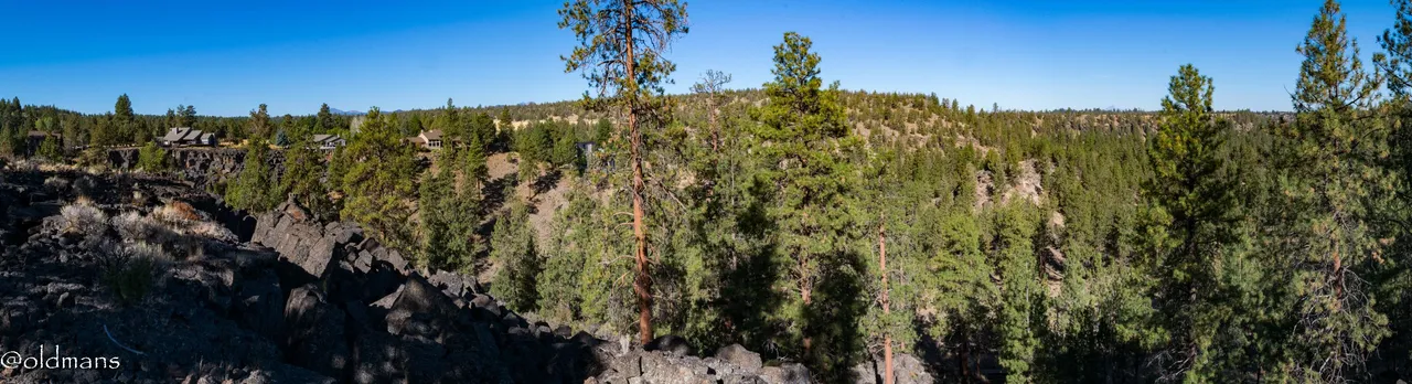
A pano of the view...
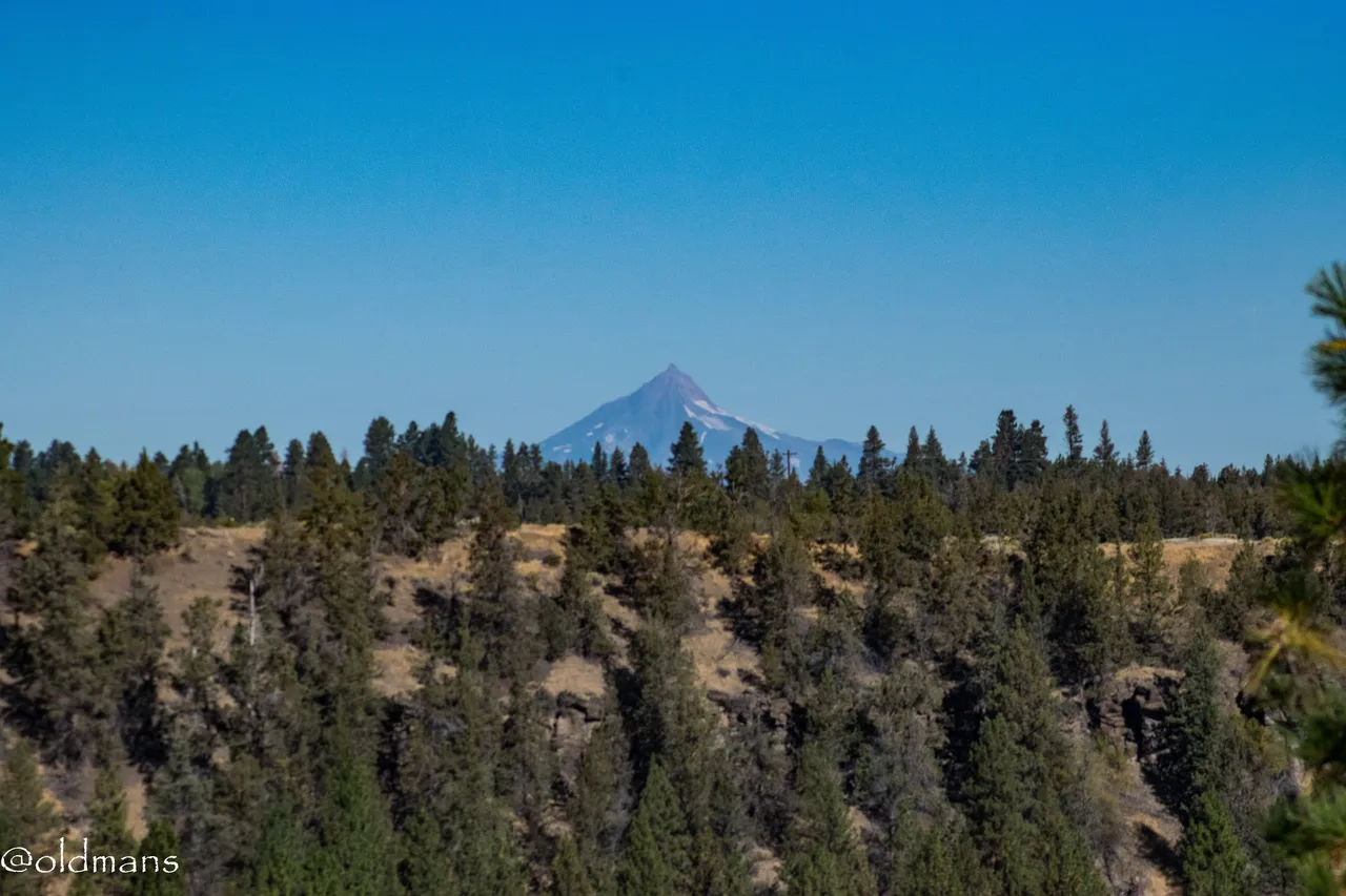
And a telephoto shot of Mt Jefferson....
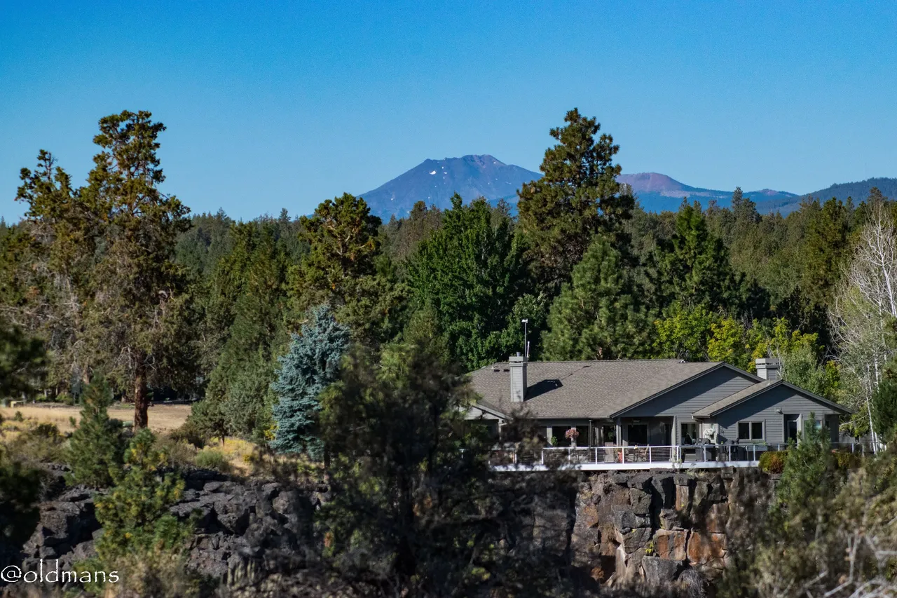
And Mt Bachelor in the distance.
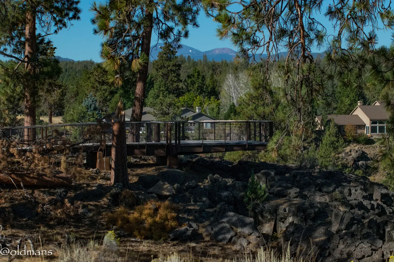
A look back at the Canyon Overlook platform.
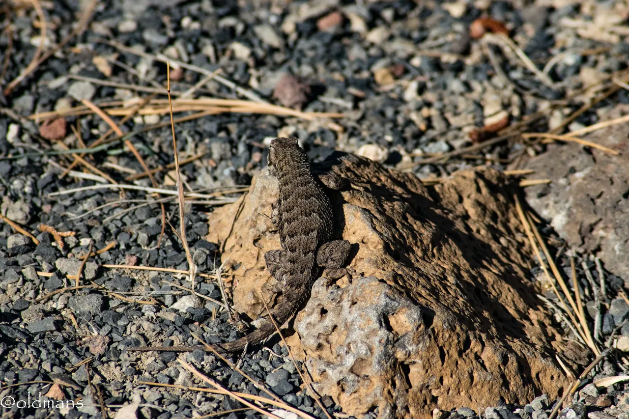
Some more of the wildlife. Two lizards scurring around on the ground.
The trail down to the canyon and some more of the reserve. This will be a trip for another time though. 😀
Another twisted Juniper.
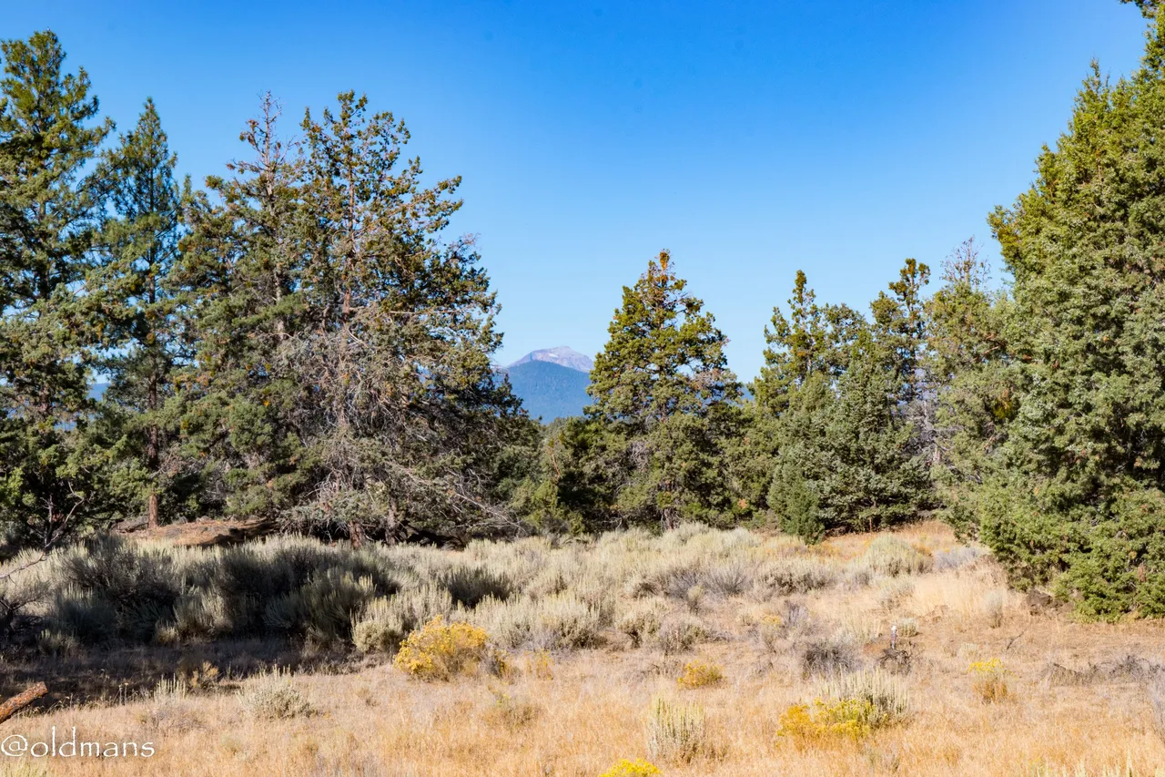
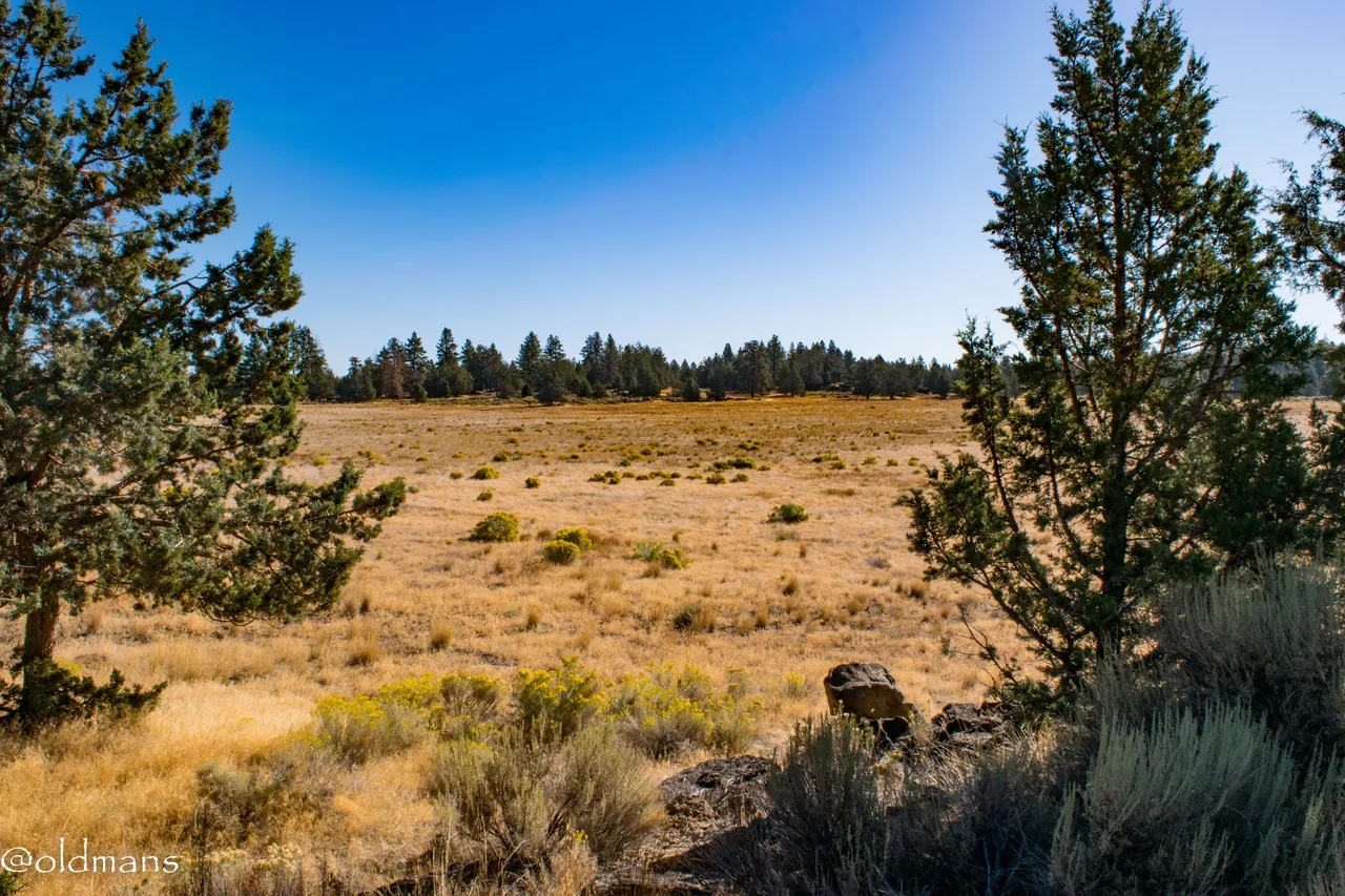
The last overlook. Aptly named the Mountain View overlook and the last view on our journey.
Please feel free to make comments or ask me any questions about this post.
Photos taken by me, @oldmans, with a Nikon D3300 and some Lightroom post processing.
Please visit Pinmapple to see the locations of some of my other posts.
Thanks for looking and enjoy your day!