
This post is from two walks, 22nd and 23rd of December. Quite some contrast between those two days.
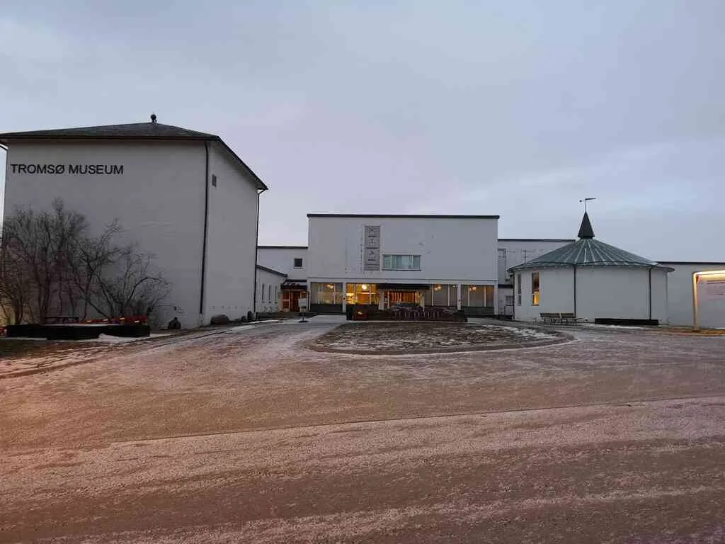
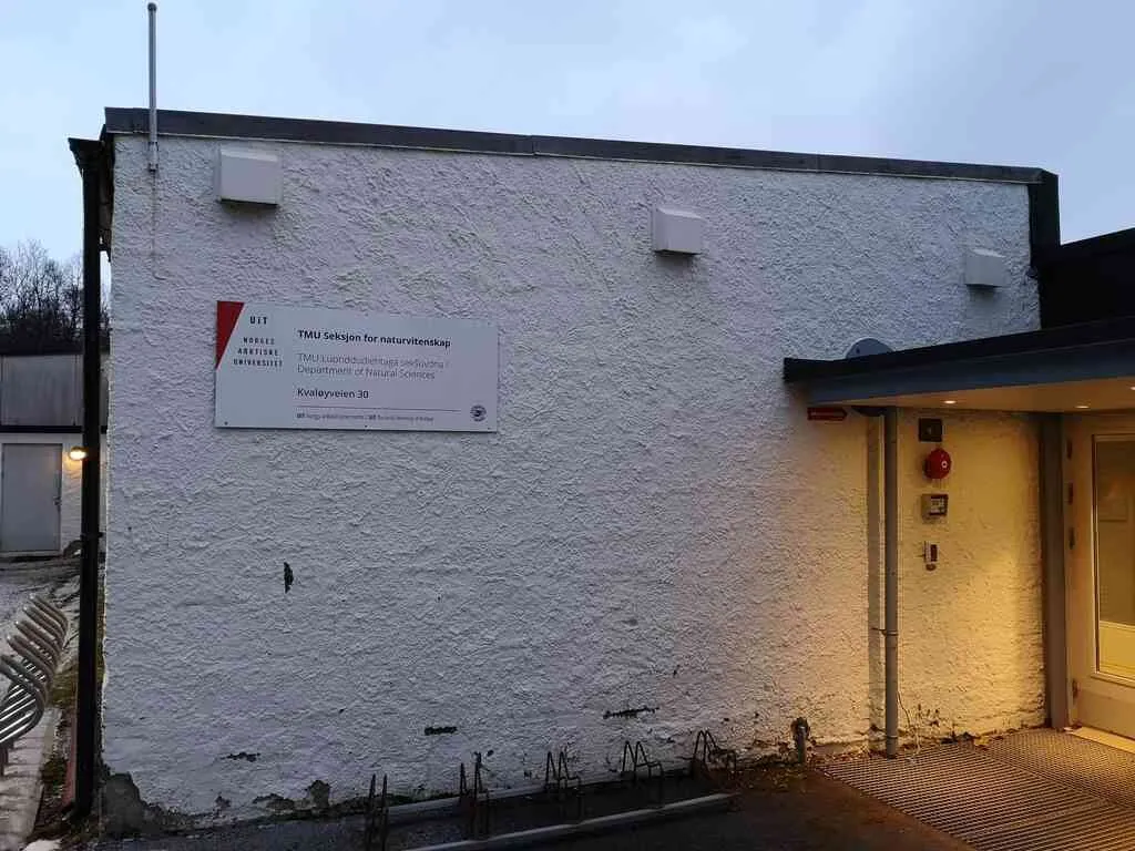
I start this post with a photo of Tromsø Museum (I noticed they were building a new museum building downtown, so in some few years this will be the "former Tromsø Museum").
position: geo:69.635177,18.913156 (geohack) - 2018-12-22 11:59:10 localtime - full quality
When I was a child, I recall it being a very big museum. Probably that's just because I was such a small boy back then - today I think it's rather small. Also, of course I have very fond memories of the area meant primarly for entertaining children, "the fairytale forest" - I guess it grew old, today it's totally replaced with ... something dull. Of course the old thing was much better. Or was it? My children don't think it's that dull after all.
position: geo:69.634979,18.913396 (geohack) - 2018-12-22 11:59:53 localtime - full quality
Actually the building is a bit big - there may be an alternative reason why the museum appeared much bigger to me before, it could be that less of the areas are used for exibitions, and more of the areas are used for administration, offices, storage, etc ... but probably not.
position: geo:69.635604,18.919387 (geohack) - 2018-12-22 12:05:04 localtime - full quality
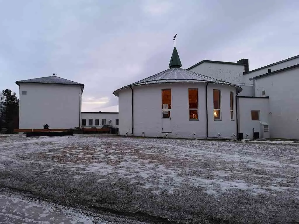
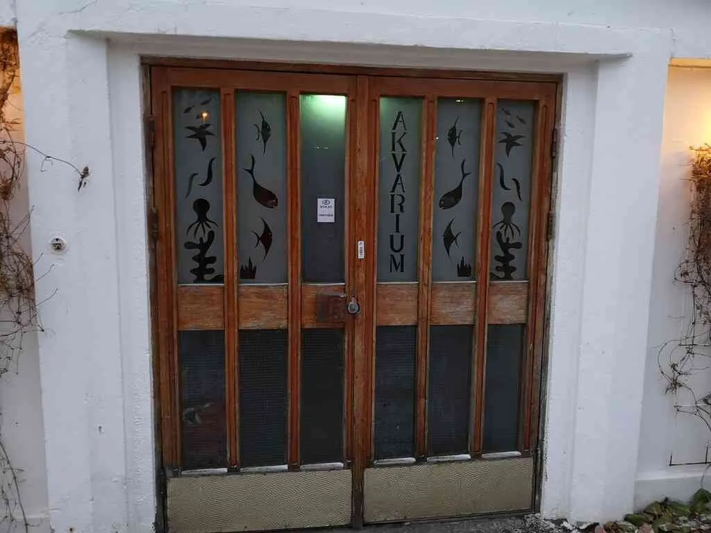
Walking down from the Museum, there is the old aquarium.
position: geo:69.634262,18.90487 (geohack) - 2018-12-22 12:07:31 localtime - full quality
The building belongs to the Museum, which again is a part of the university. Apparently the building is used for botanical research nowadays.
position: geo:69.634262,18.904867 (geohack) - 2018-12-22 12:07:57 localtime - full quality
The old visitor entrance to the aquarium seems not to be in use anymore.
position: geo:69.634262,18.904867 (geohack) - 2018-12-22 12:08:07 localtime - full quality
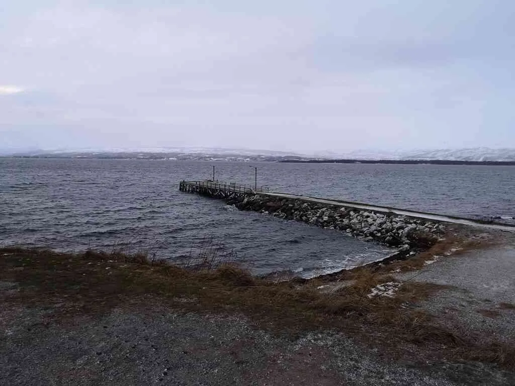
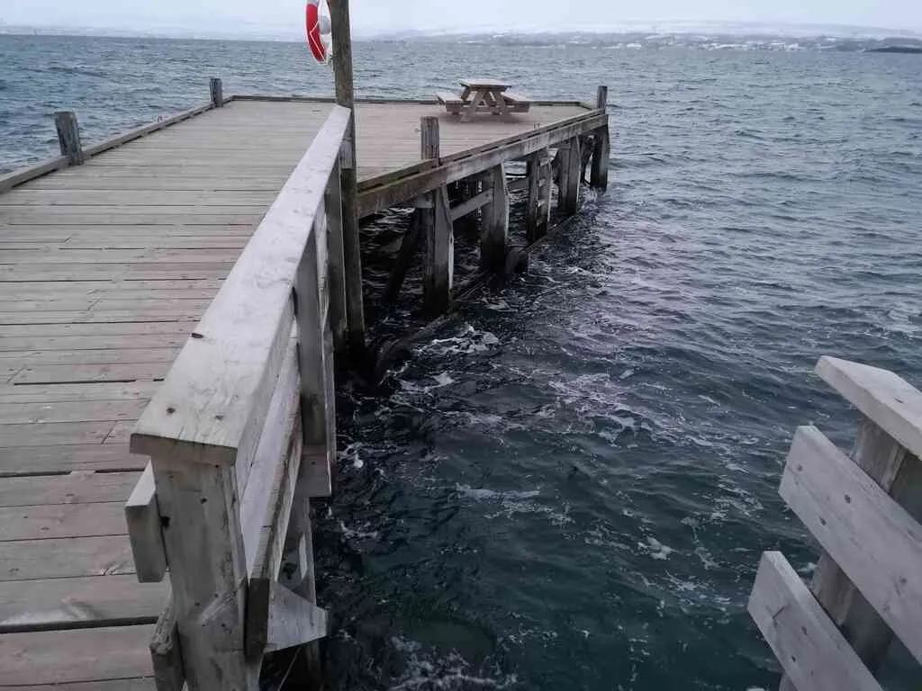
This quay has been there for as long as I can remember. I don't believe it's being used much - though, when I got my first sailing boat I would often use this quay if I was to visit my mother. The quay is quite exposed, this is a relatively big fjord, if there is a fresh breeze from the south the waves can become significant. This day there was a bit of wind from the south, enough that it would be uncomfortable to stay there.
position: geo:69.634262,18.904867 (geohack) - 2018-12-22 12:08:26 localtime - full quality
2018-12-22 12:09:42 localtime - full quality
I do have bad memories from once I was going to deliver to the kinder garden ... the weather was too bad for mooring up at the very end of the quay like I used to, but I thought it would be OK to moore up here. The boat was quite small and light-weight, 24 feet long, but with the wind and waves it was bad enough - I was fighting for more than an hour mooring up the boat! I was totally wet from sweat in the end ... climbing on the wood of the quay, first trying to get control of the situation at all, and trying to make knots with one hand while holding myself with the other hand and with sharp jerks in the rope for every wave ... I was so much a novice with boating back then.
2018-12-22 12:10:18 localtime - full quality
Looking back at the old aquarium
position: geo:69.633842,18.902204 (geohack) - 2018-12-22 12:10:45 localtime - full quality
View towards the south-east
position: geo:69.633842,18.902204 (geohack) - 2018-12-22 12:10:51 localtime - full quality
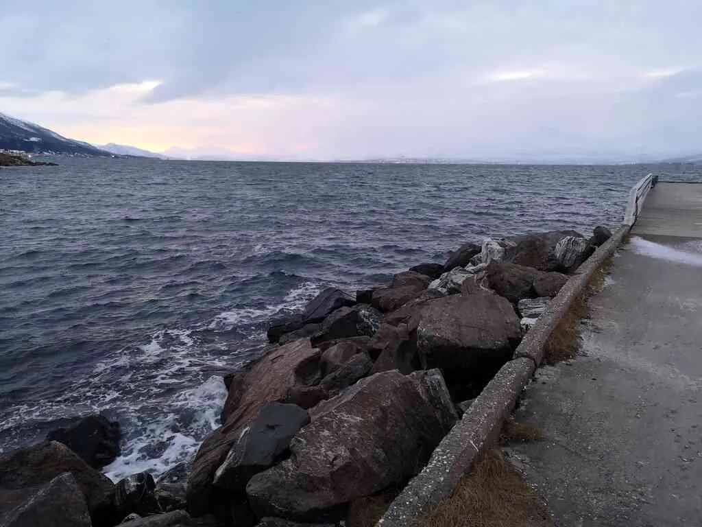
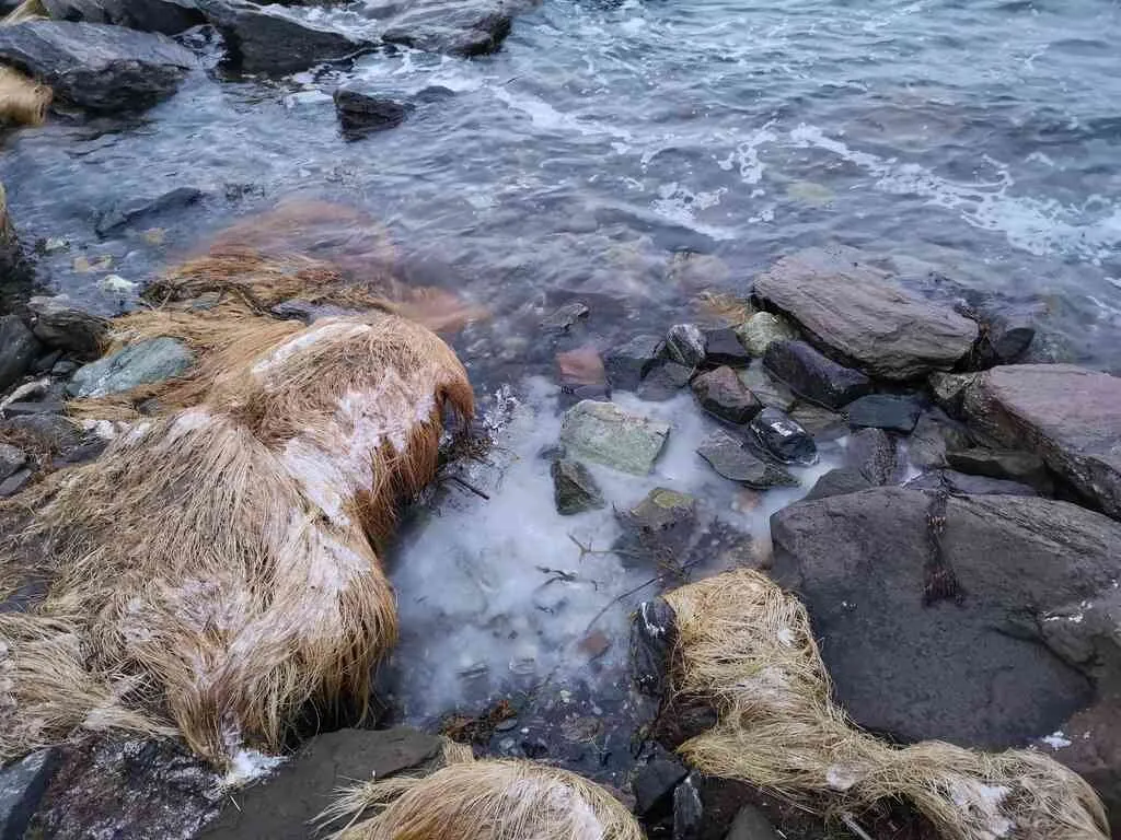
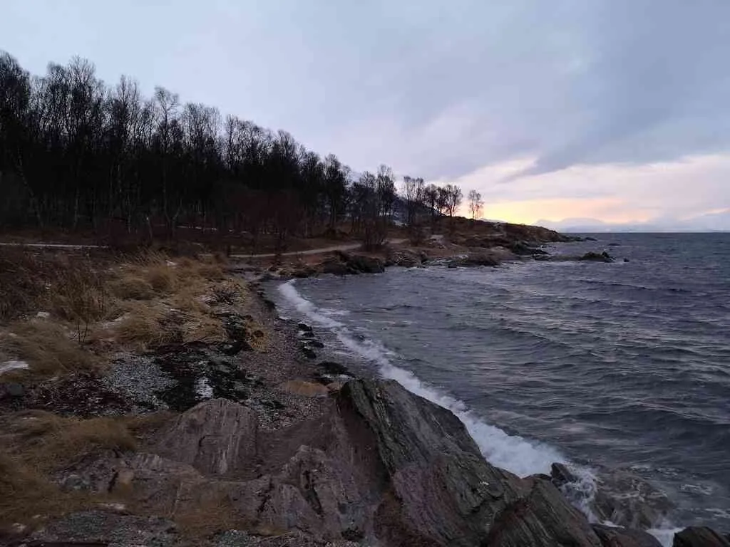
It's high water. Since it has been a period with quite cold weather (and it was still quite cold), there is some ice to be found at some places. The ice has formed on lower water levels, and is pretty stuck to the rocks. Now it's high water, so for an hour the water is actually covering the ice ...
2018-12-22 12:12:39 localtime - full quality
Walking towards the south-east, towards Telegrafbukta.
2018-12-22 12:13:29 localtime - full quality
Looking back towards the quays
2018-12-22 12:14:20 localtime - full quality
position: geo:69.640434,18.910903 (geohack) - 2018-12-22 12:14:52 localtime - full quality
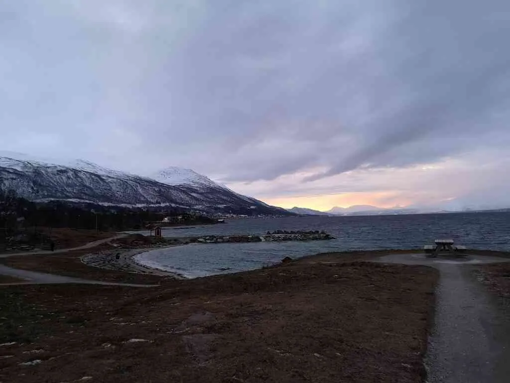
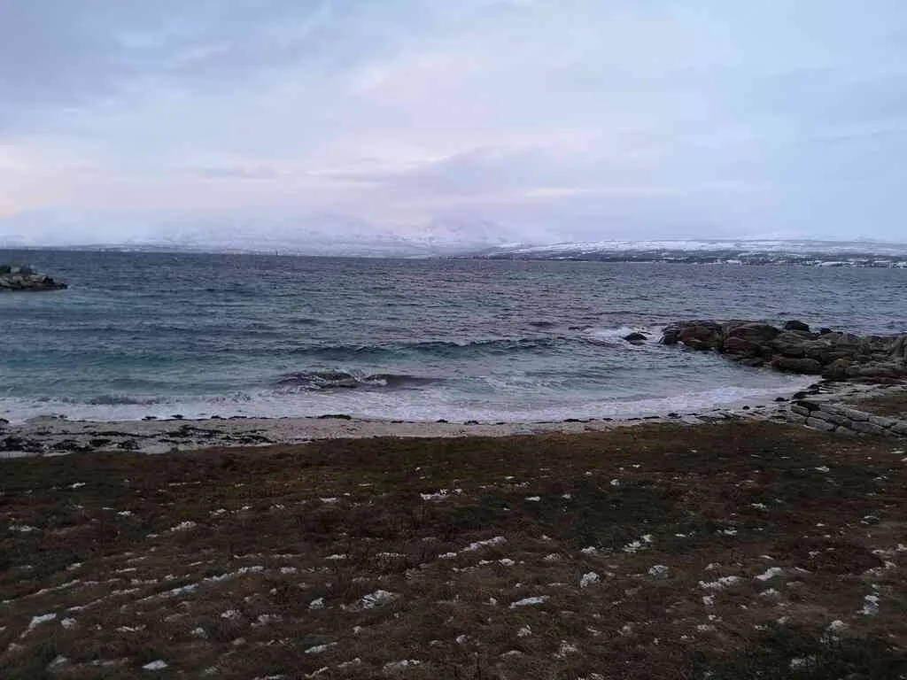
This is Telegrafbukta - the most popular beach on the island - and one of the few sandy beaches in the area (there are lots of really idyllic sandy beaches on the outer islands, but that's quite far away). The sea temperatures rarely exceeds 10C - but it's facing the south, and it's shallow water, so on calm, sunny days in the summer time the water here may be a couple of degrees warmer than other places. Few of my grandparent generation rarely could swim. The first indoor swimming pool was built in 1965, and the sea was too cold to swim in. I haven't been swimming a lot here myself, only in my best youth I was challenging my comfort limits and did some swimming here ... I must confess I'm neither a good swimmer nor a person who enjoys jumping into cold water, though I'm trying to push my comfort limits (and I also bought a wet-suit to be able to do more swimming).
position: geo:69.632064,18.910379 (geohack) - 2018-12-22 12:16:05 localtime - full quality
Oh ... memories, memories. I once crashed with this black marker (or, rather, in the rocks it's warning about) while sailing in the darkness.
position: geo:69.632553,18.905361 (geohack) - 2018-12-22 12:16:33 localtime - full quality
I think it was a natural sandy beach, but I also believe they have added more sand here. At least it's a bit different now than what it was when I was a child.
position: geo:69.632263,18.906253 (geohack) - 2018-12-22 12:17:16 localtime - full quality
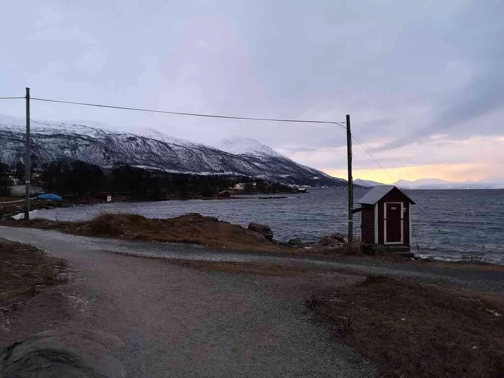
The name comes from the telegraph line going into the sea here towards Tisnes at Kvaløya, from 1894. I'm not sure if this is an actual communication line or if it's just a historical monument.
position: geo:69.631568,18.910842 (geohack) - 2018-12-22 12:18:03 localtime - full quality
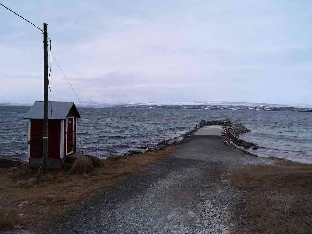
position: geo:69.631843,18.907089 (geohack) - 2018-12-22 12:18:20 localtime - full quality
position: geo:69.631263,18.909948 (geohack) - 2018-12-22 12:19:45 localtime - full quality
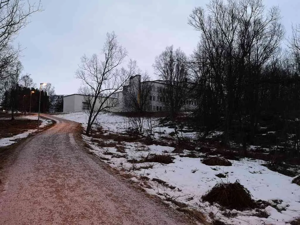
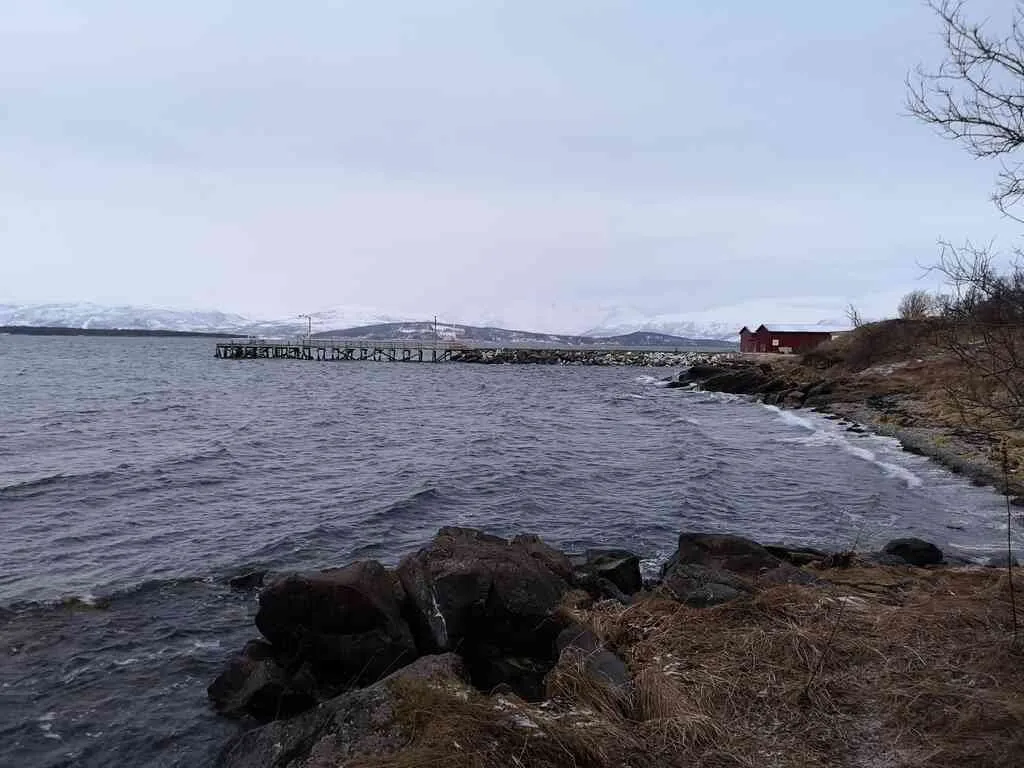
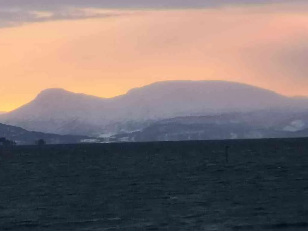
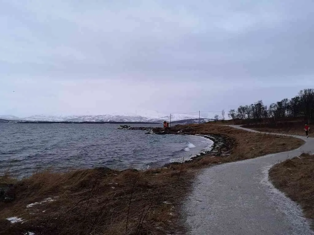
This is the very south tip of the Tromsø island.
position: geo:69.628311,18.912237 (geohack) - 2018-12-22 12:25:41 localtime - full quality
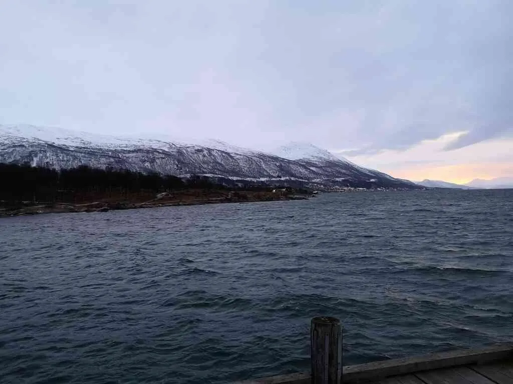
The only way to continue from here is north ... view towards east, the Fløya mountain (with the cable car, and more visible, Storsteinen).
position: geo:69.627517,18.915966 (geohack) - 2018-12-22 12:28:06 localtime - full quality
position: geo:69.627532,18.916522 (geohack) - 2018-12-22 12:28:57 localtime - full quality
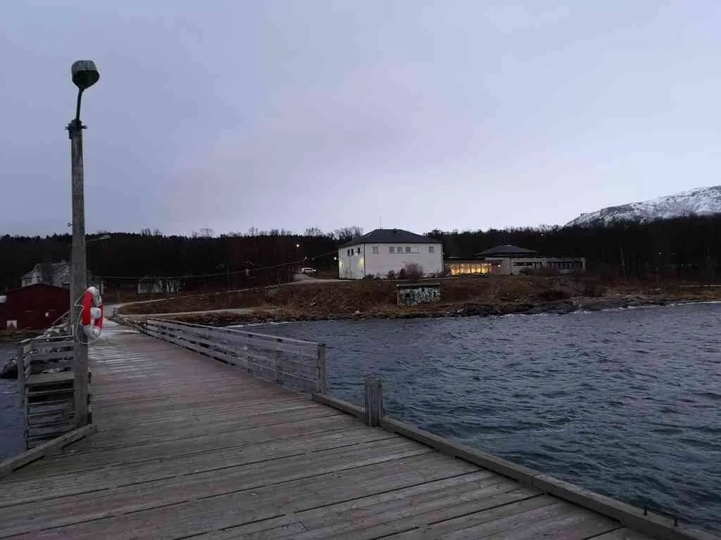
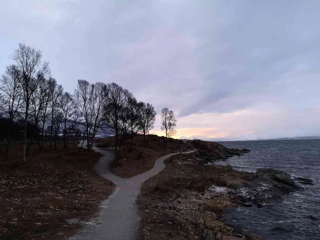
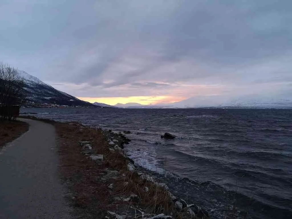
Next day - same place, but it looks different, so different!
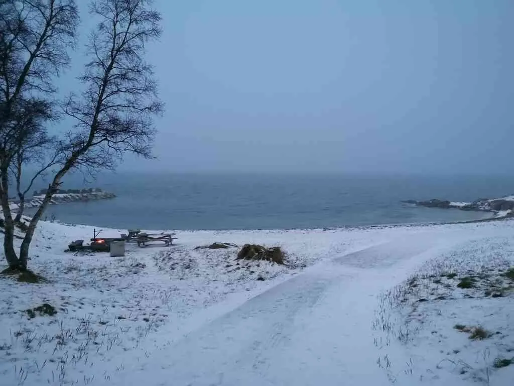
position: geo:69.631721,18.910146 (geohack) - 2018-12-23 13:43:13 localtime - full quality
Someone had been here before us and had a fire. Not much of it left. The light in the sea is a navigation light.
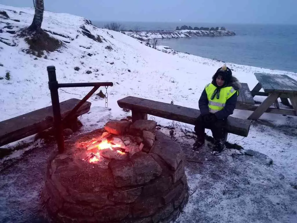
position: geo:69.632232,18.907661 (geohack) - 2018-12-23 13:43:48 localtime - full quality
The beach probably looks even less inviting on this photo than the previous day - but it was actually colder the day before.
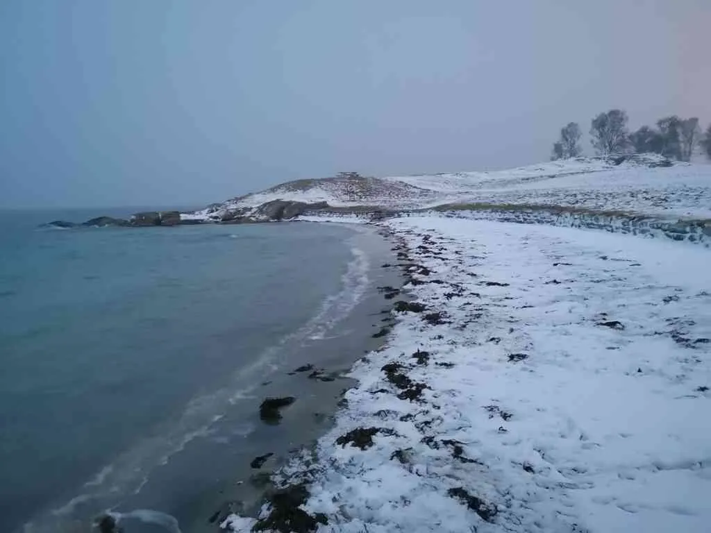
position: geo:69.632049,18.906724 (geohack) - 2018-12-23 13:45:31 localtime - full quality
position: geo:69.632041,18.906745 (geohack) - 2018-12-23 13:45:40 localtime - full quality
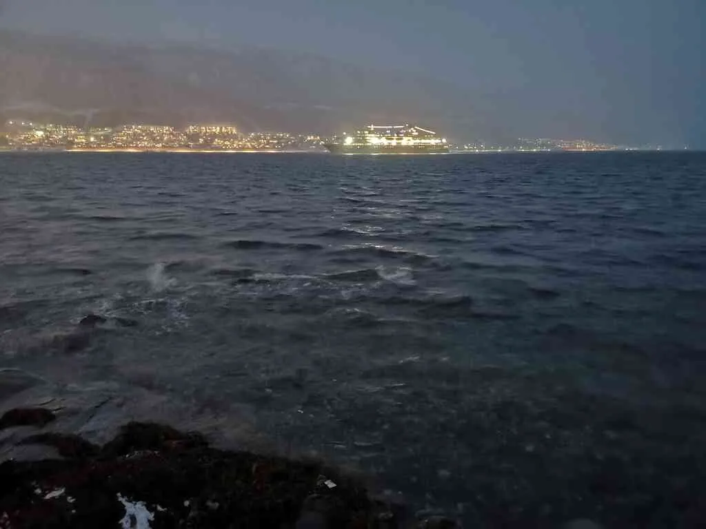
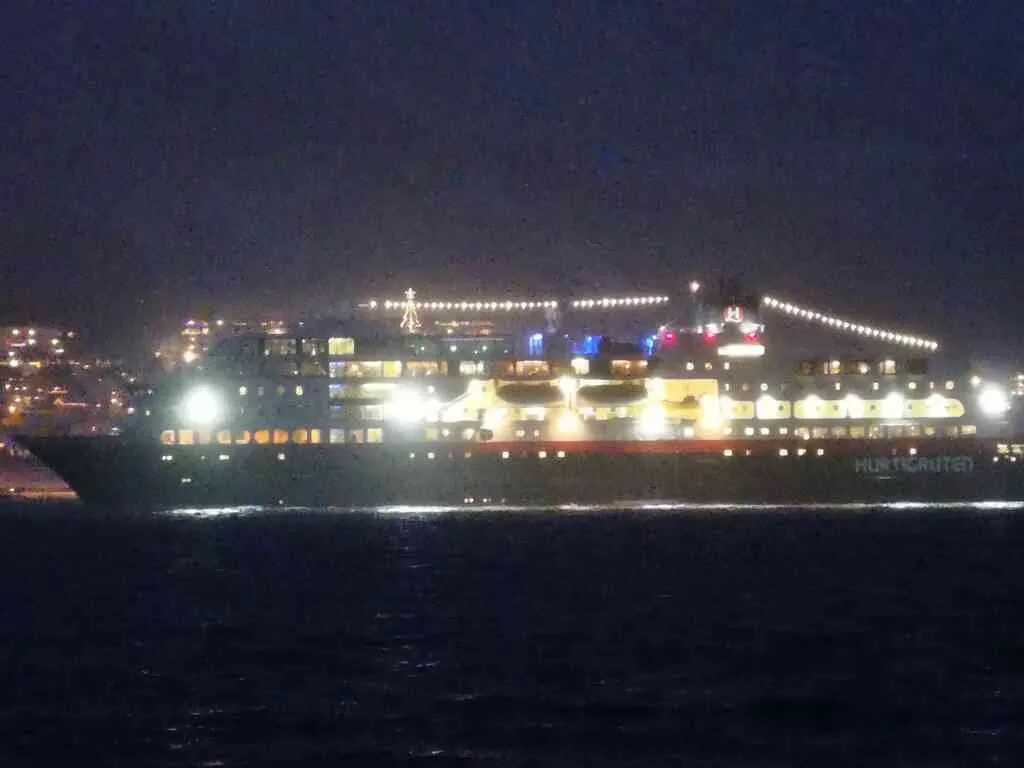
We walked the same way around the southern tip this day as I did the day before. While going there, Hurtigruten passed by (it used to be one of the most important lines for transportation of passengers and cargo along the coast, and also a reasonably cheap way to get around - they even used to have special rooms where people that couldn't afford (or didn't want to afford) a cabin could sleep - today it's mainly an exclusive tourist line).
position: geo:69.628402,18.919208 (geohack) - 2018-12-23 14:02:55 localtime - full quality
position: geo:69.628402,18.919208 (geohack) - 2018-12-23 14:03:15 localtime - full quality
I apologize that there is a bit of overlapping photo usage in this post and my previous post, photos were selected from the same pool of photos.
Selected photos available in original quality on IPFS QmaC7TLH9K8En4ch3Xmeddwbpq771pHvTyjYSXwjbBr7nL. All photos taken available in original quality on IPFS QmUH5jyyBNMXxGquAJ6ebpMQD5kXMab8jwai56nyB5nPeM. The CC BY-SA 4.0 license applies on both my photos and the article
Don't be afraid to criticize my posts. I will give a 100% upvote to any (unique) reply pointing out typos, grammar mistakes or mistakes in the facts presented. This applies to any post or comment from me, no matter how old. I also usually give upvotes to opposing points of view, particularly when a good and logically valid argument is given.