A little over a week ago, I made a post called A Walk Along the River with photos from eleven years ago. During the preparation of that post, I realized that I do not really know anything about this natural attraction of the Republic of Bashkortostan (Bashkiria) and the Southern Ural. So last weekend I took my camera, some food, got in the car, and reached this beautiful place again. By the way, I drove almost 300 kilometers from my hometown.
Eleven years later, I found myself here again, but this time I strolled the right bank of the river. Today, I would like to share fresh pictures from this walk.
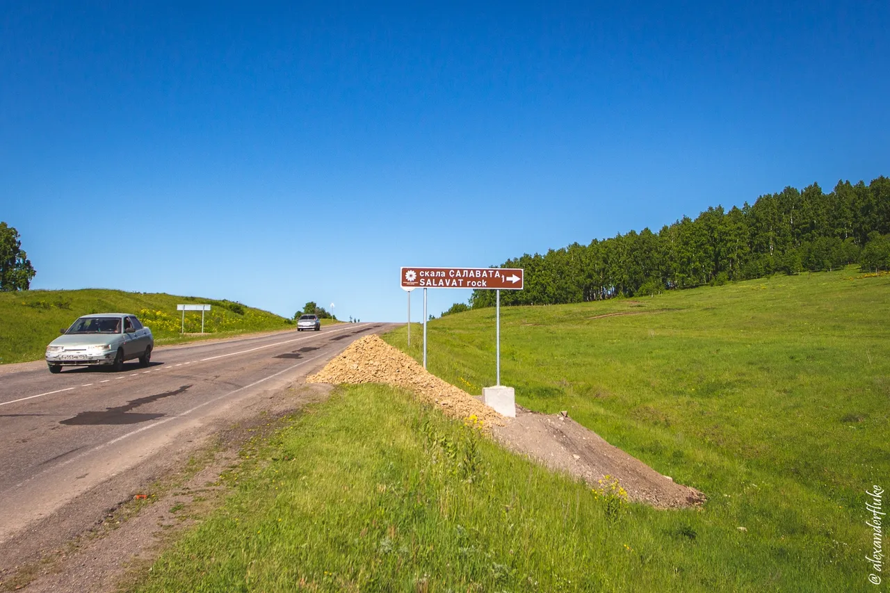
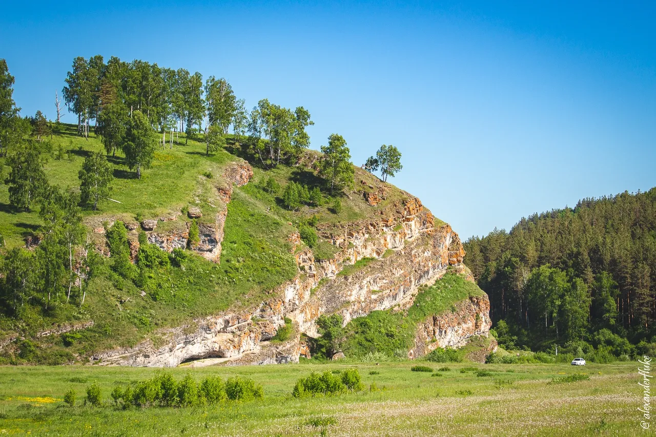
It turns out that not so long ago this place received its official name — the Salavat Rock. This is a brand-new name, so, you will not find any mention of it in the web space (I did not find it). Perhaps my post will be the first article on the Internet about the rock of Salavat.
Who is Salavat?
Salavat Yulaev is a national hero of Bashkiria and many places and attractions in the Republic named after him. The Salavat Rock is located in the region of Bashkiria called the Salavatsky District. Salavat Yulaev was born in this region almost two hundred and fifty years ago. You can read more about his short but bright life here.
Salavat Yulaev is a national hero of Bashkiria and many places and attractions in the Republic named after him. The Salavat Rock is located in the region of Bashkiria called the Salavatsky District. Salavat Yulaev was born in this region almost two hundred and fifty years ago. You can read more about his short but bright life here.
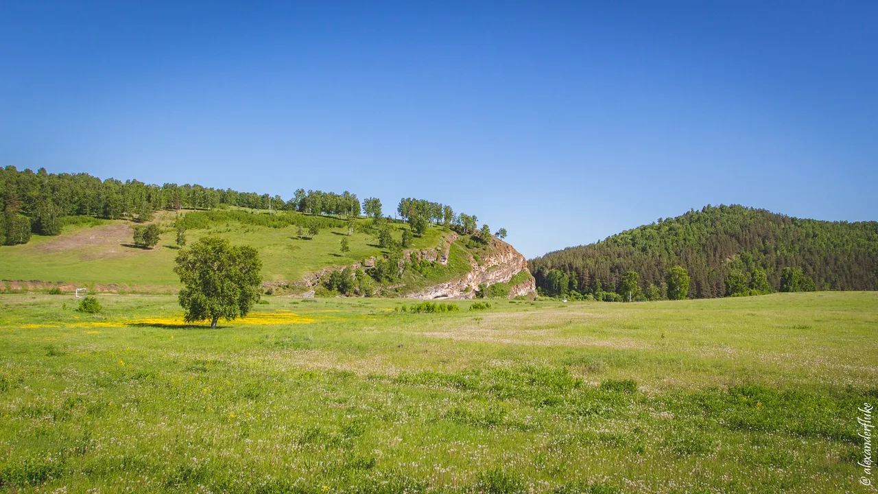
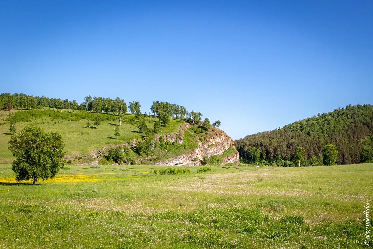
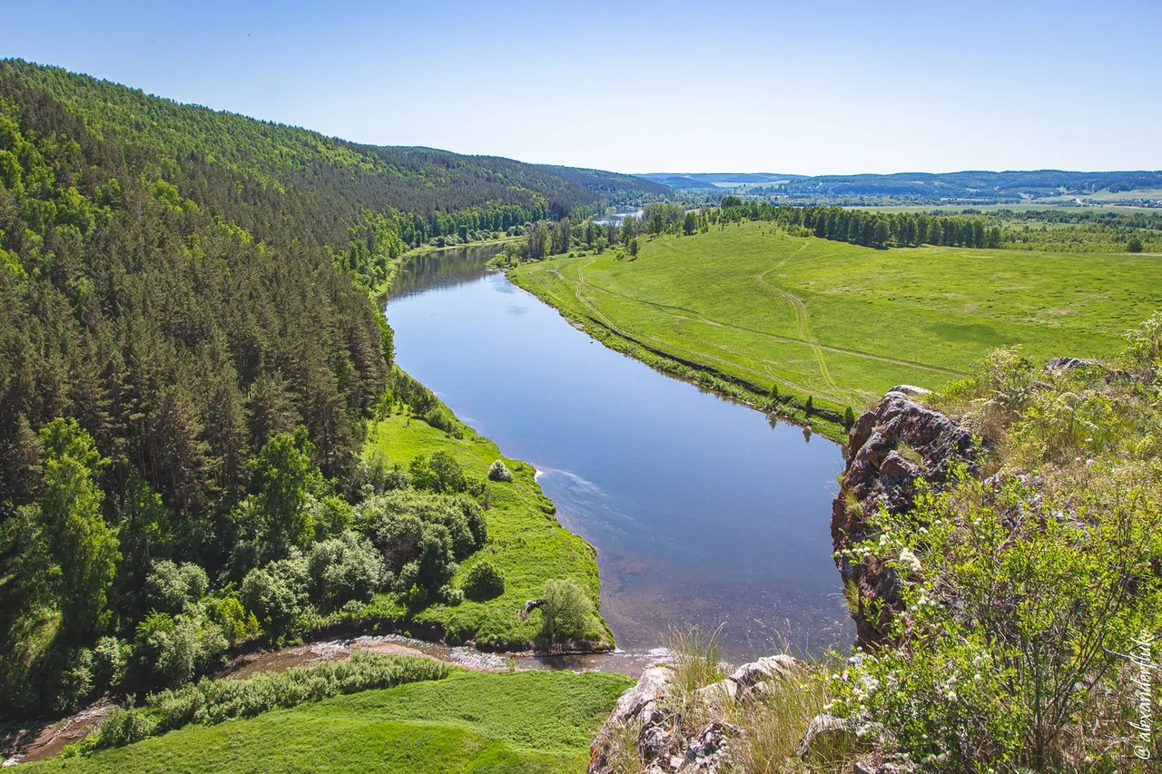
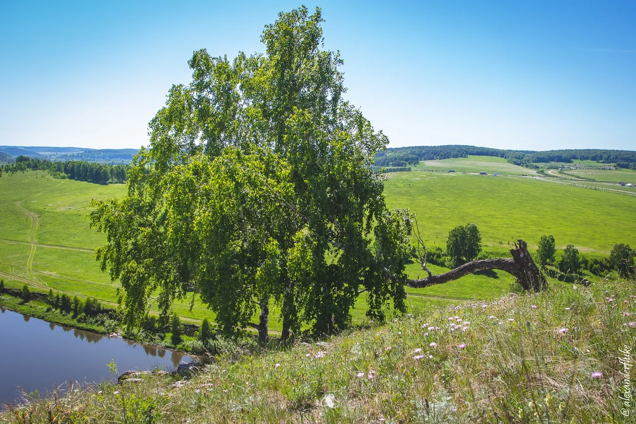
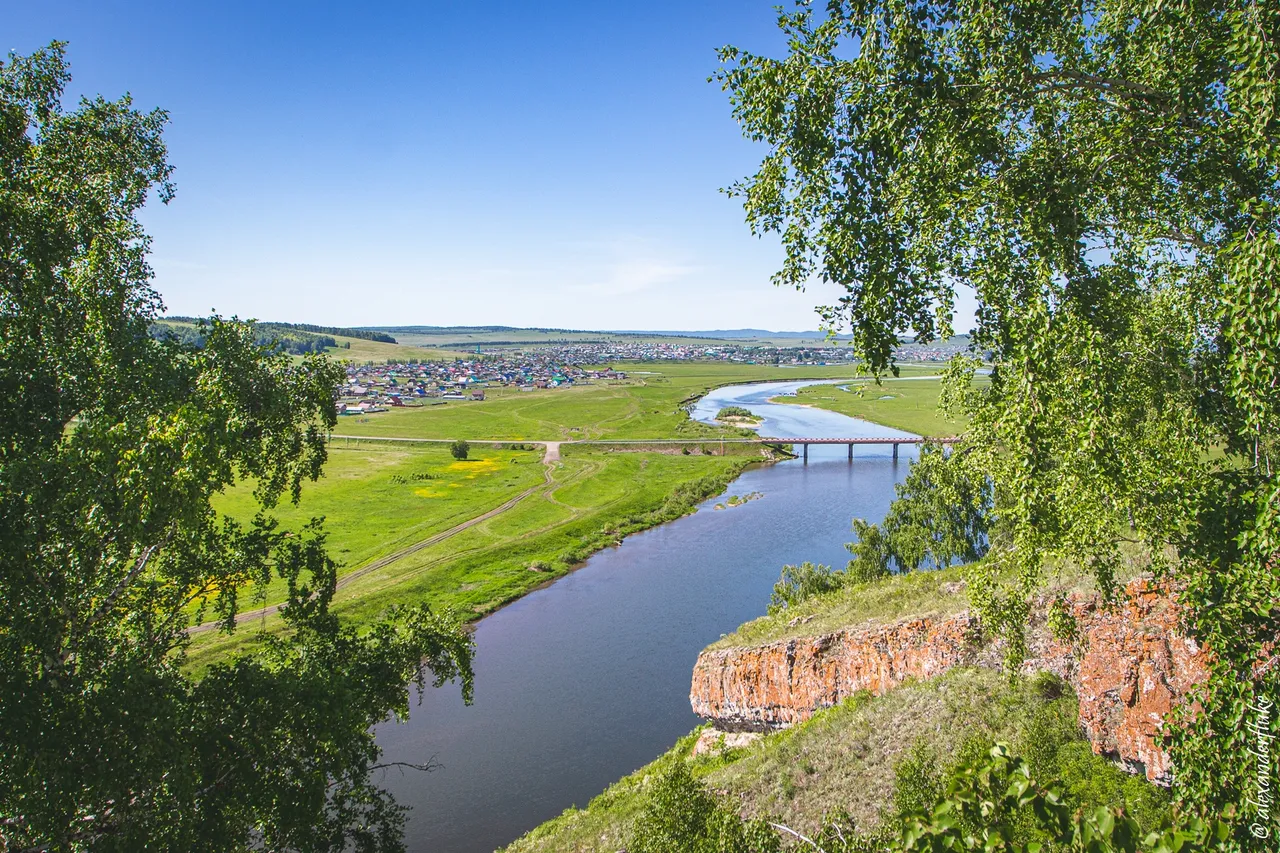
The Salavat Rock situated on the right bank of the Yuryuzan River near the large Bashkir village of Maloyaz, the administrative center of Salavatsky District. Driving along the R242 highway, I reached the Yuryuzan River, crossed the bridge, saw an informational road sign and turned right. There is a good dirt road leading to the rock, so I got to the top of the rock directly by car.
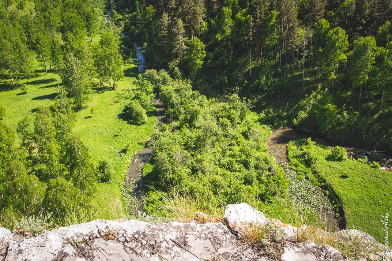
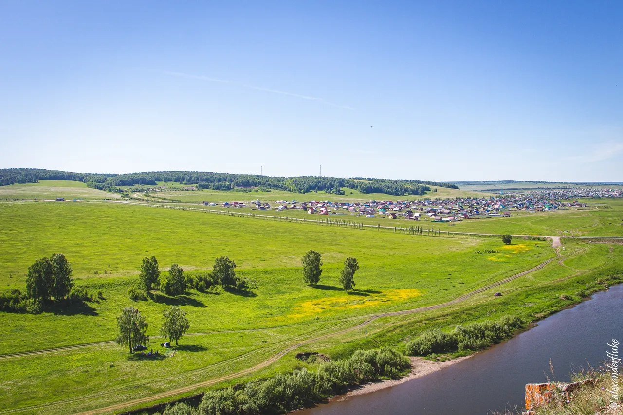
The rock rises only a hundred meters above the river level, but the views from there are awesome.

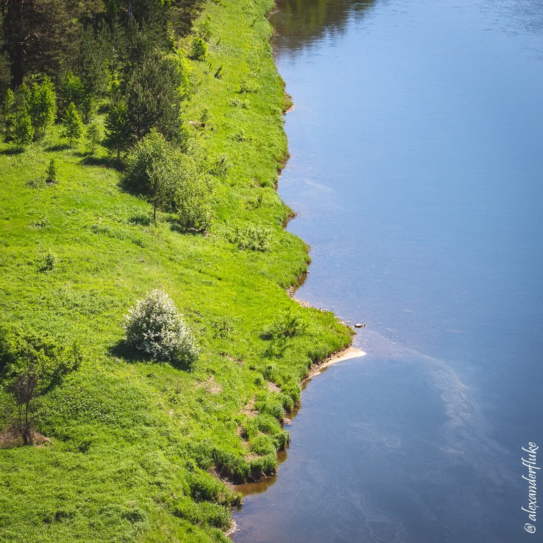
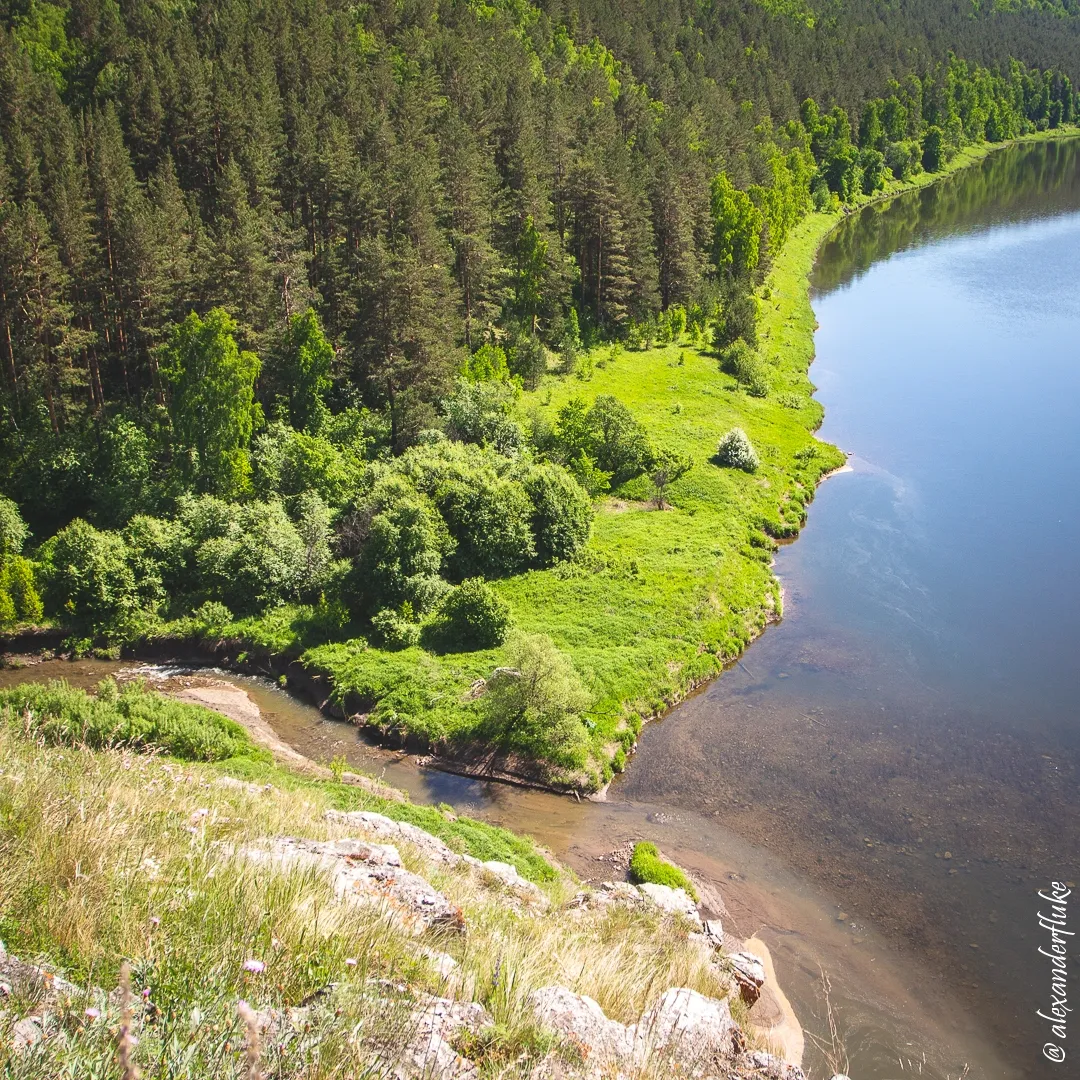
In this place, during rafting on the river, people usually set up camp.
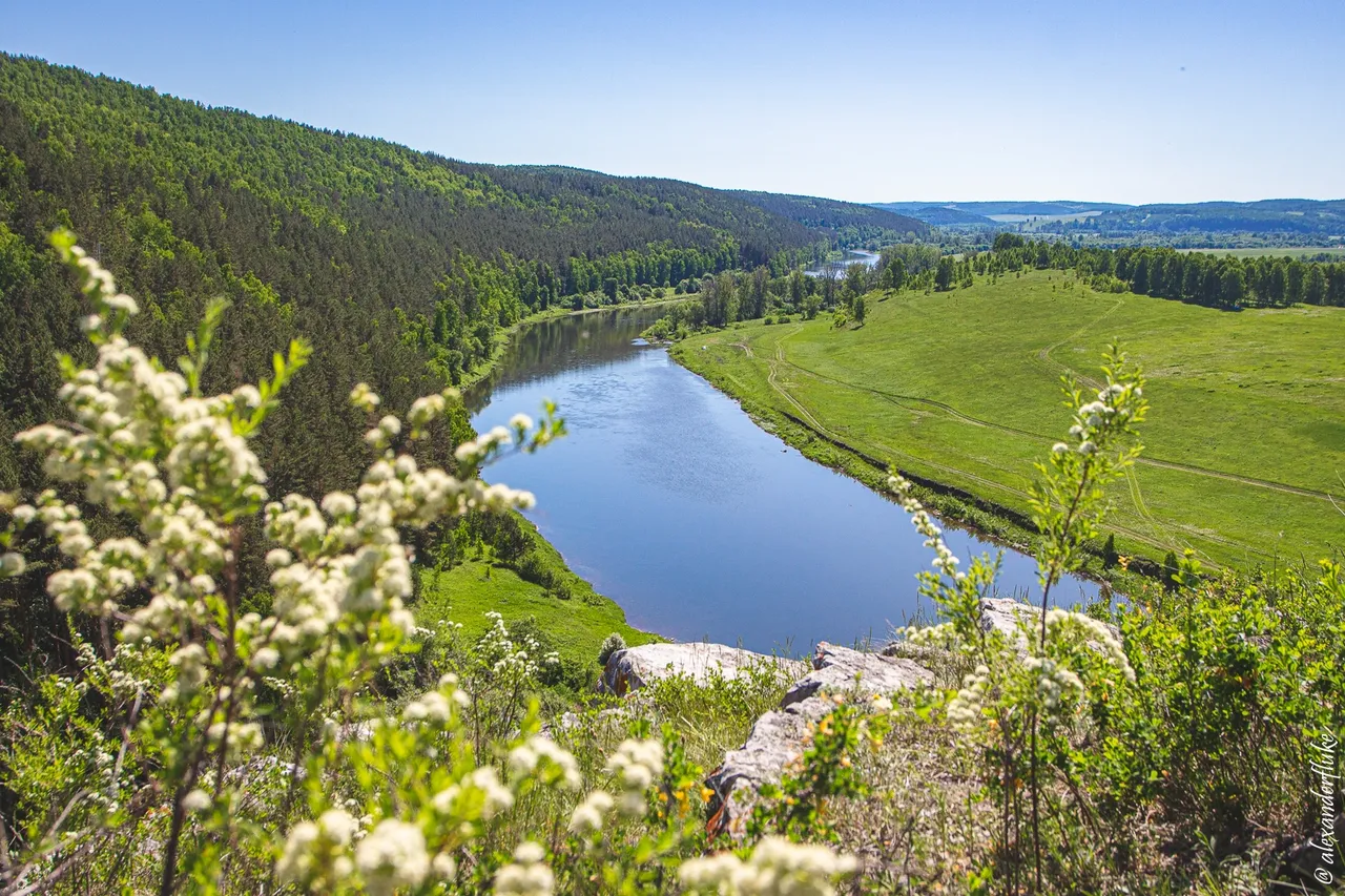
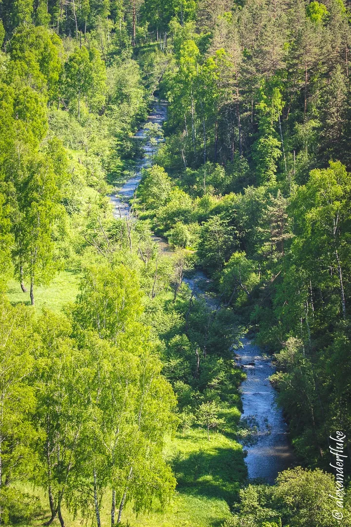
The mouth of the Nasi River, a right tributary of Yuryuzan.
The section of the Yuryuzan River to the mouth of the Nasi River with a length of more than 50 kilometers declared a natural monument of Bashkiria. There are several archaeological and historical sites associated with the name of Salavat Yulaev. Along the banks there are many natural objects also declared natural monuments including the rock of Salavat.
The information I also learned recently and I intend to study in detail the geography and history of these places in the future.
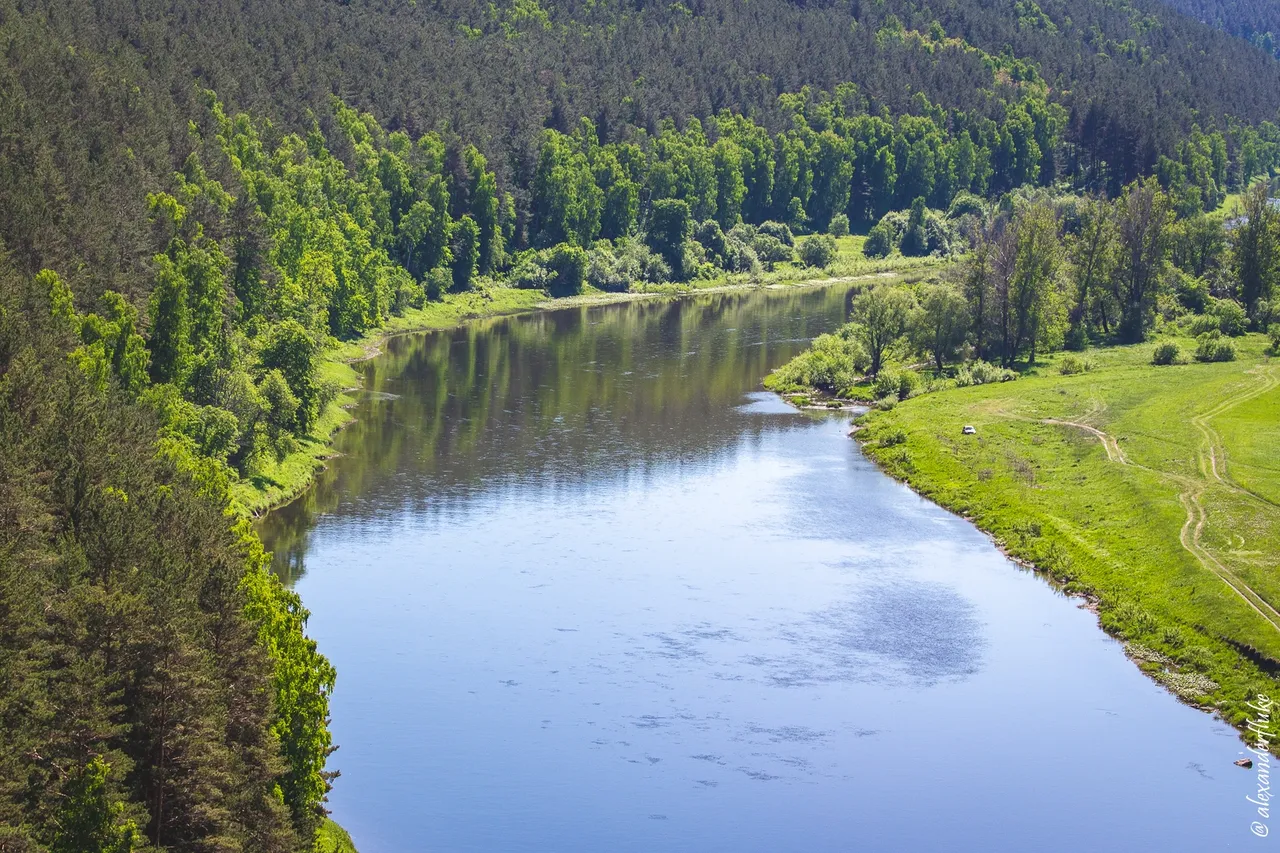
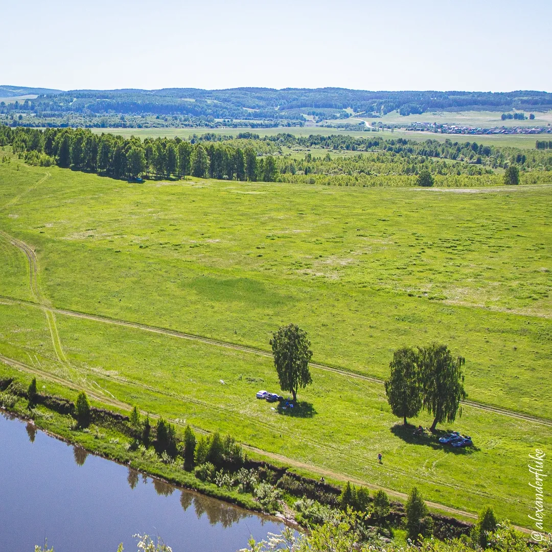
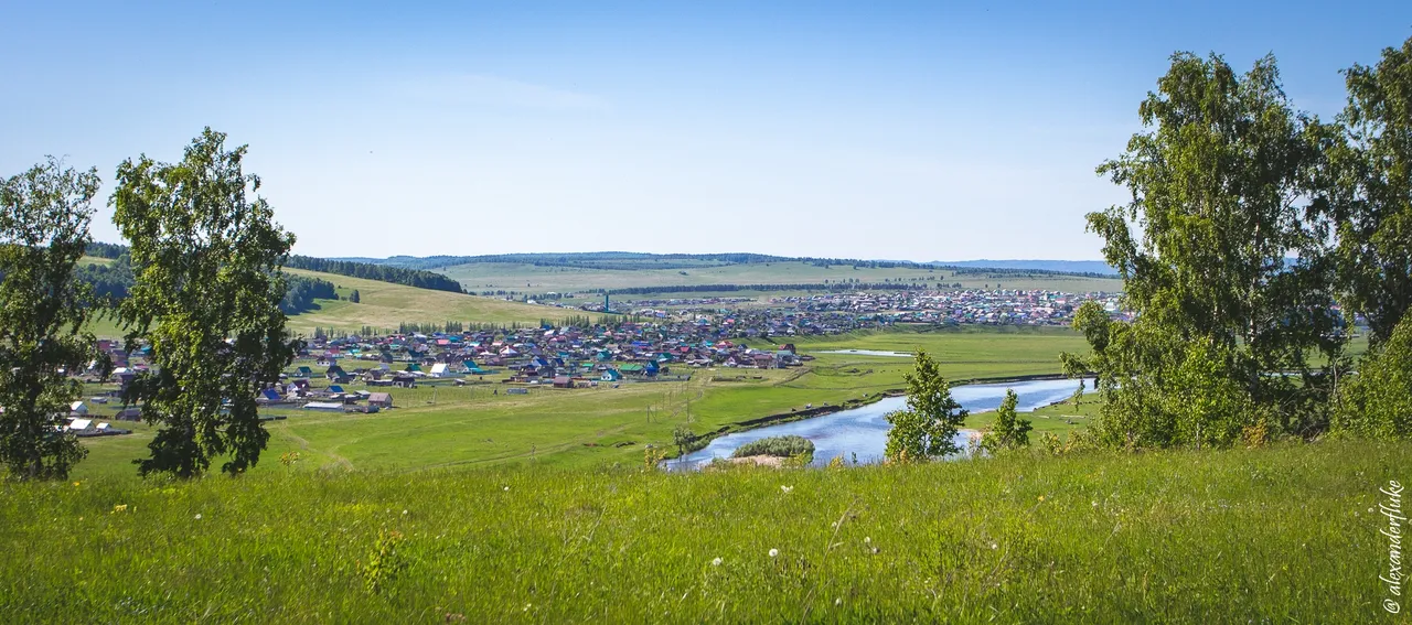
View of the left bank of the Yuryuzan River where I walked eleven years ago. In the photos, the river flows in my direction, so the left bank is on the right. :)
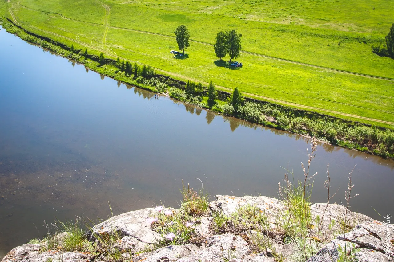
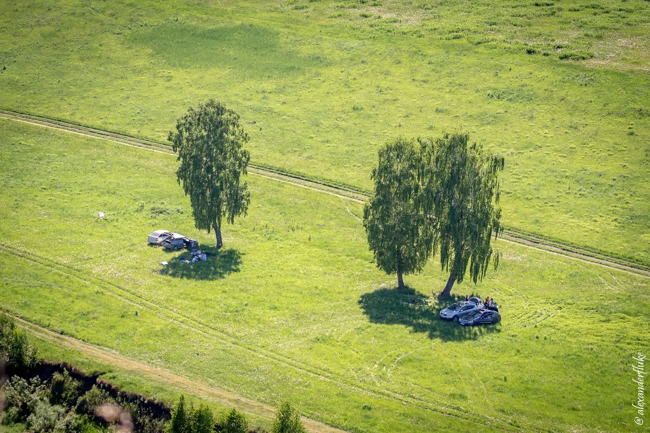
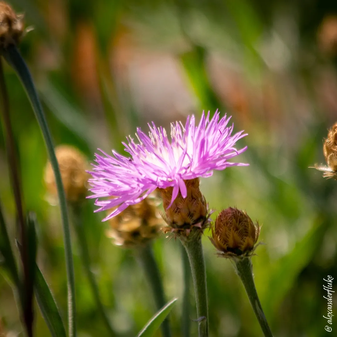
Despite the fact that it was a weekend and the weather was excellent, there were very few vacationers on the banks of the river. The self-isolation mode in the countryside detected!
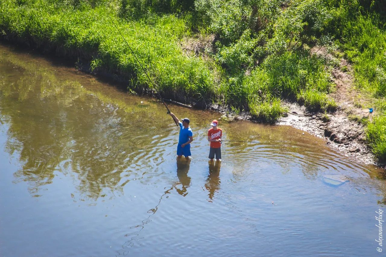
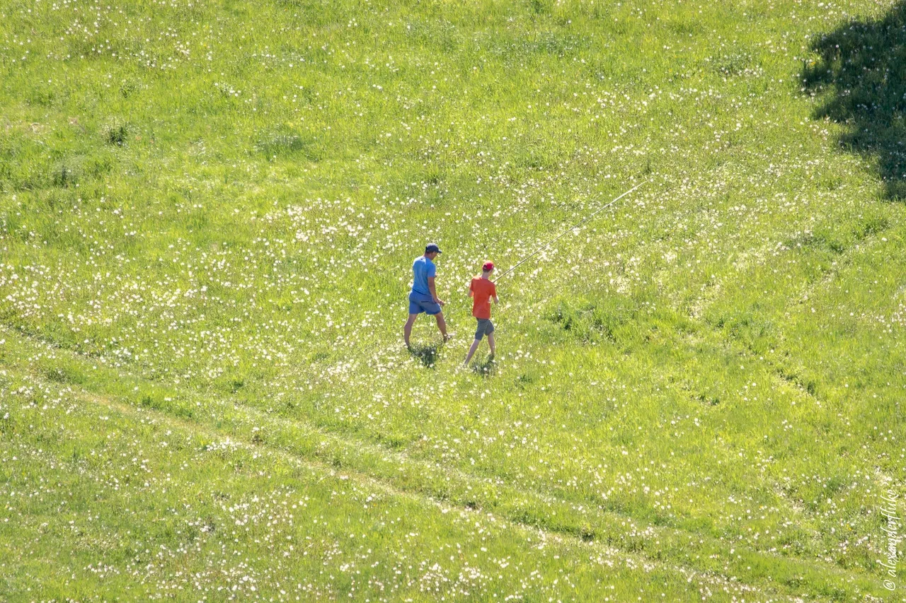
These boys tried to fish, but soon left. Apparently, the fish also self-isolated.
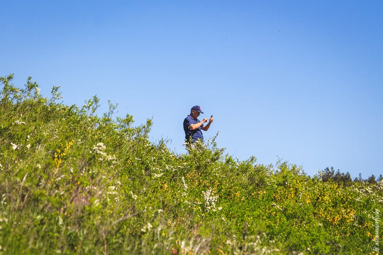
I spent about two hours on the rock enjoying the beautiful views and taking pictures. Sometimes other people appeared on the rock with smartphones in their hands.
View of the left bank and the southern edge of the village of Maloyaz. This village is home to the Salavat Yulaev Museum that I hope to visit sometime.
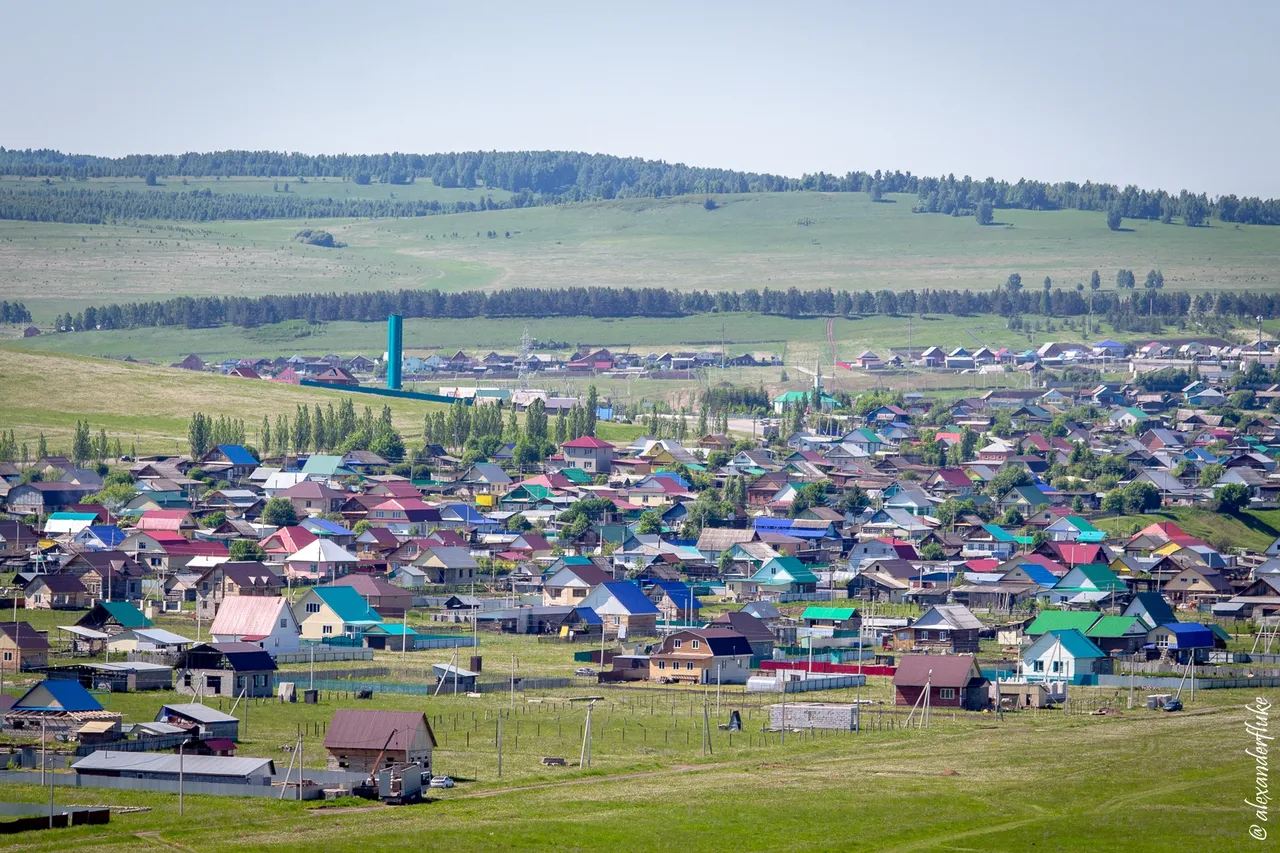
Panoramic view of Maloyaz from the Salavat Rock.
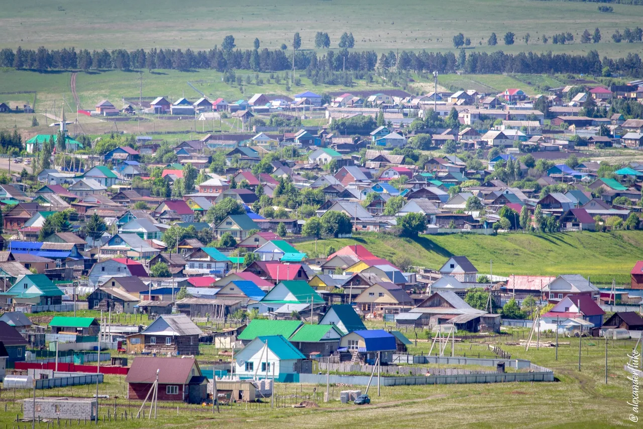
A couple of pictures of rural houses taken with a telephoto lens.
That is all for today. Anyway, the Salavat Rock is a great place to relax in nature. Easily accessible, safe, and very beautiful.
If anyone reading this text is going to visit Bashkiria and the Southern Ural sometime in the near future, do not hesitate to write to me and ask questions. I will be happy to help.
Thank you for visiting my blog! I hope you liked my weekend pictures.